Home > StateDocs > sos > ARCHIVES > ARC_IMG > ARC_MAPS > PLANBOOK_MAPS > PLANBOOK_12
Follow
Advanced Search


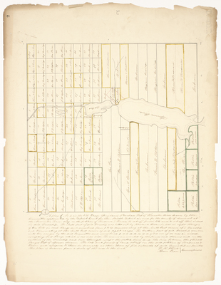
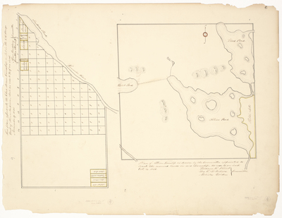
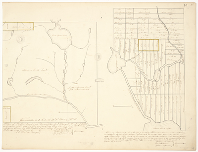
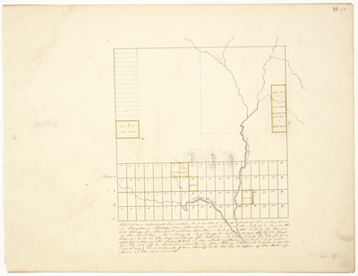
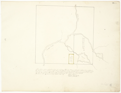
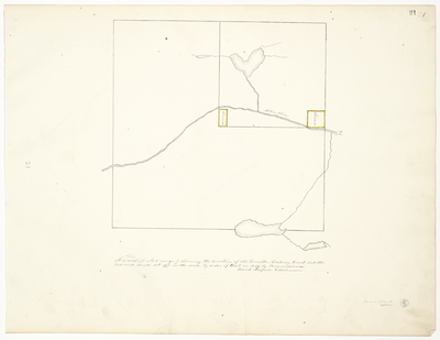
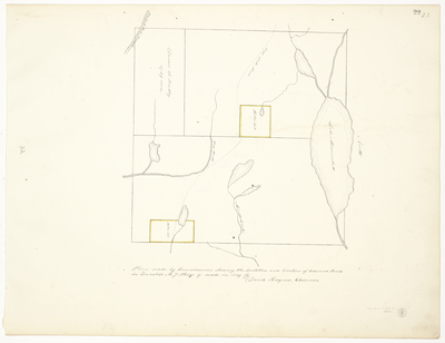
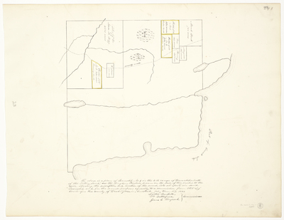
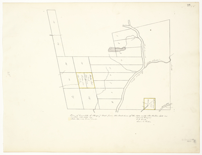
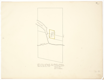
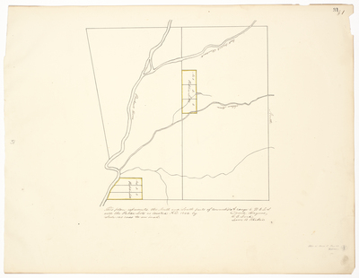
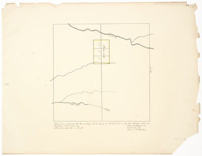
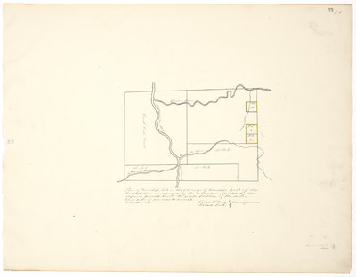
![Page 10. Plan of Public Lands in Township No. 3 Range 5 West of the K.R. [Kennebec River] and Plan of Township No. 1 Range 7 West of Kennebec River (called Sapling) by William R. Flint, George Getchell, William Spaulding, and Samuel Weston](https://digitalmaine.com/planbook_12/1010/thumbnail.jpg "Page 10. Plan of Public Lands in Township No. 3 Range 5 West of the K.R. [Kennebec River] and Plan of Township No. 1 Range 7 West of Kennebec River (called Sapling) by William R. Flint, George Getchell, William Spaulding, and Samuel Weston")


