

Preview
Document Type
StillImage
Contributing Institution
Maine State Archives
Identifier
211753
Description
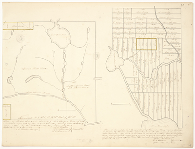
Plan of Public Lands in Township No. 3 Range 5 West of the K.R. [Kennebec River] and Plan of Township No. 1 Range 7 West of Kennebec River (called Sapling). Scale of 160 rods to an inch.
Exact Creation Date
5-1850
Language
English
Location
Somerset County; Sapling Twp
Other Location
Great Spencer Stream; Spencer Forks Tract; Moosehead Lake
Keywords
Cartography; Maps; Maine Land Office; Planbooks; Surveys