Home > StateDocs > sos > ARCHIVES > ARC_IMG > ARC_MAPS > PLANBOOK_MAPS > PLANBOOK3B
Follow
Advanced Search


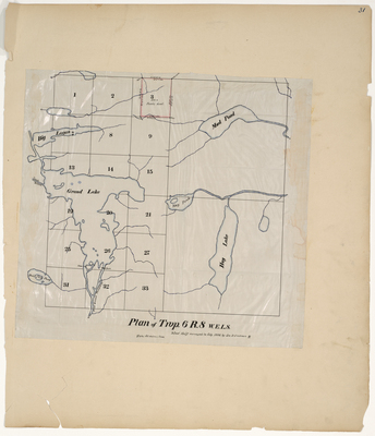
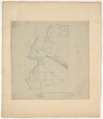
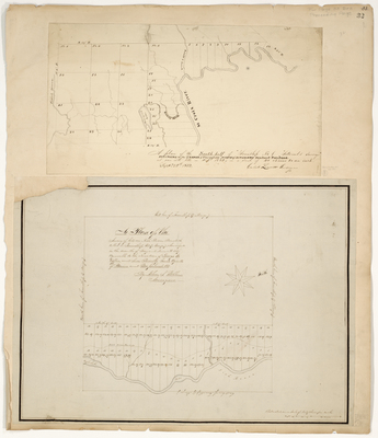
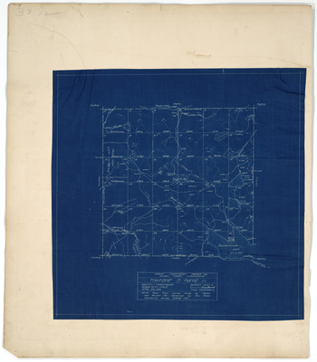
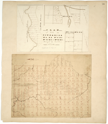
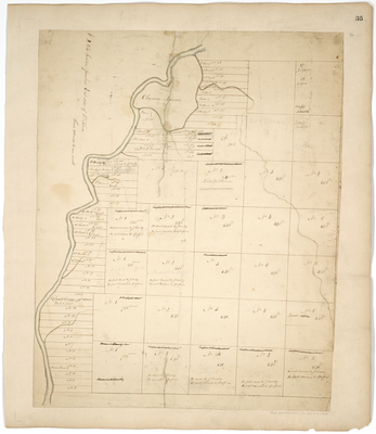
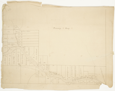
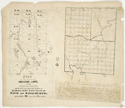
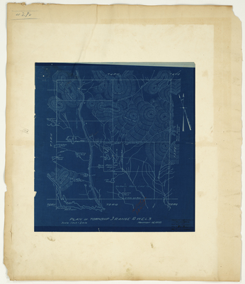
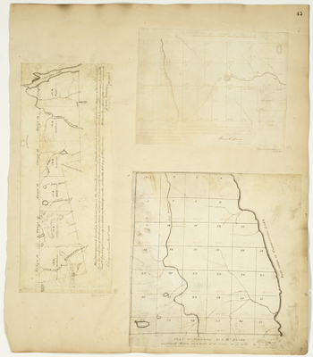
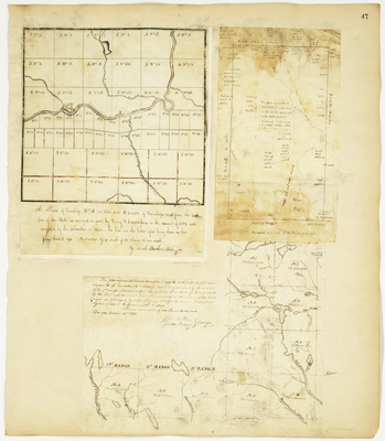
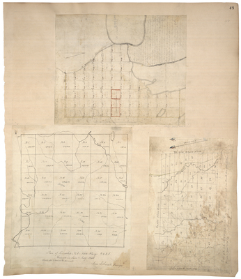
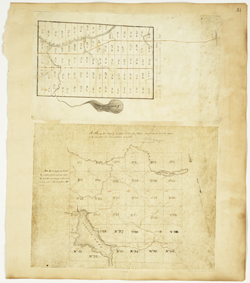
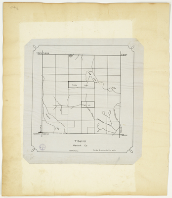
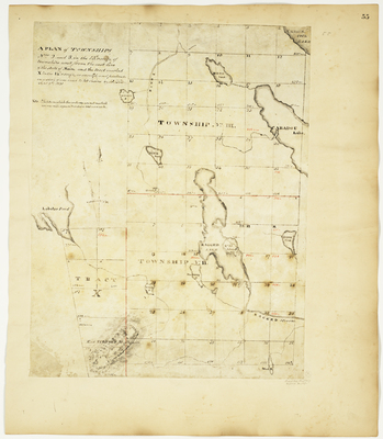
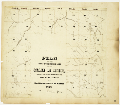
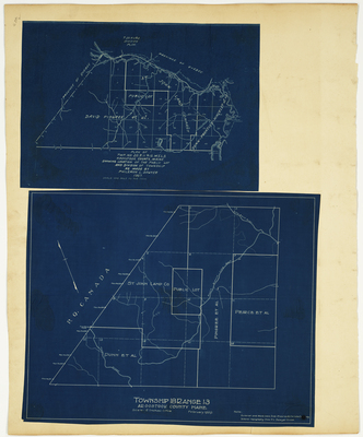
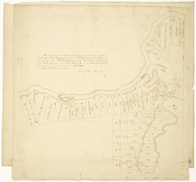
![Page 45. Plan of Township No. 4, 15th [13th] Range; Plan of half Township Letter E in the second range of Townships West from the East line of the State; Plan of Townships Numbered Four in the 13-18th Ranges of Townships from the East Line of the State of Maine by Caleb Leavitt, John H. Smith, James Frost, Abner Coburn, and Zebulon Bradley](https://digitalmaine.com/planbook3b/1023/thumbnail.jpg "Page 45. Plan of Township No. 4, 15th [13th] Range; Plan of half Township Letter E in the second range of Townships West from the East line of the State; Plan of Townships Numbered Four in the 13-18th Ranges of Townships from the East Line of the State of Maine by Caleb Leavitt, John H. Smith, James Frost, Abner Coburn, and Zebulon Bradley")


