


Preview
Contributing Institution
Maine Geological Survey
Document Type
Image
Identifier
50664
Description
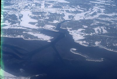
Aerial view from NE. Browns Point (ctr.) and Lanes Island (lower right).
Project Name: Kelley NGGDPP Grant 2019
Location
Yarmouth
Supplemental Rights
Credit must be given to the photographer and the Maine Geological Survey when this photo is displayed, reproduced, distributed and/or used in derivative works.
Keywords
Natalie scan, Royal River, Cousins River