


Preview
Contributing Institution
Maine Geological Survey
Document Type
Image
Identifier
50639
Description
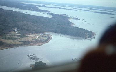
Aerial view from SW. Fogg Point (ctr), Lambert Point (left ctr), and Mouth of Harraseeket River (upper left).
Project Name: Kelley NGGDPP Grant 2019
Exact Creation Date
11-12-1985
Location
Freeport
Supplemental Rights
Credit must be given to the photographer and the Maine Geological Survey when this photo is displayed, reproduced, distributed and/or used in derivative works.
Keywords
Natalie scan, Fogg Point, aerial