


Preview
Contributing Institution
Maine Geological Survey
Document Type
Image
Identifier
11320
Description
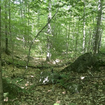
Roxbury 24K quadrangle surficial geology map Fig 7.
Project Name: STATEMAP Roxbury Surficial
Location
Township 6 North of Weld
Supplemental Rights
Credit must be given to the photographer and the Maine Geological Survey when this photo is displayed, reproduced, distributed and/or used in derivative works.
Keywords
surficial geology mapping; Roxbury; meltwater channel