


Preview
Contributing Institution
Maine Geological Survey
Document Type
Image
Identifier
10121
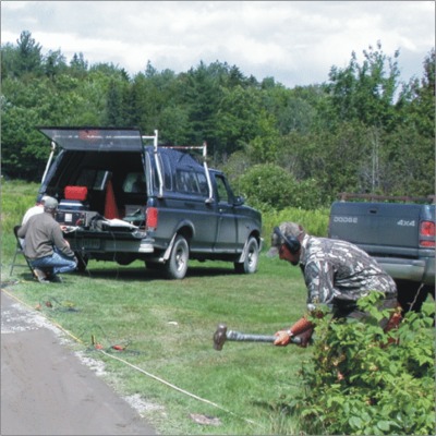
Description
Operating a twelve-channel seismograph, Piscataquis County, Maine.
Project Name: Aquifer Map Default Photos
Supplemental Rights
Credit must be given to the photographer and the Maine Geological Survey when this photo is displayed, reproduced, distributed and/or used in derivative works.
Keywords
seismograph