


Preview
Contributing Institution
Maine Geological Survey
Document Type
Image
Identifier
10118
Description
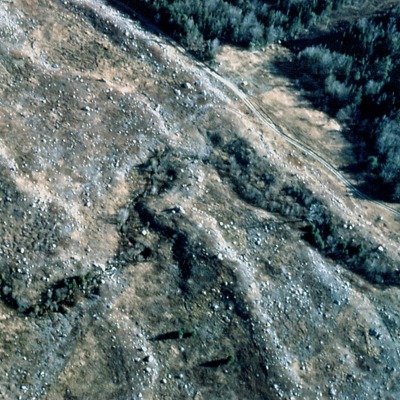
Figure 6: Aerial view of moraine ridges in blueberry field, Sedgwick (note dirt road in upper right for scale). Each bouldery ridge marks a position of the retreating glacier margin. The ice receded from right to left.
Project Name: Surficial Geology Map Default Photos
Location
Sedgwick
Supplemental Rights
Credit must be given to the photographer and the Maine Geological Survey when this photo is displayed, reproduced, distributed and/or used in derivative works.
Keywords
surficial geology; moraine; ridge