


Preview
Contributing Institution
Maine Geological Survey
Document Type
Image
Identifier
10116
Description
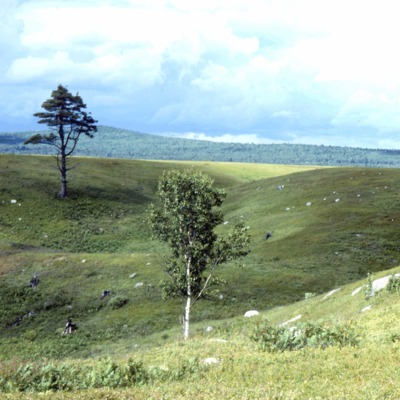
Figure 4: Glaciomarine delta in Franklin, formed by sand and gravel washing into the ocean from the glacier margin. The flat delta top marks approximate former sea level. Kettle hole in foreground was left by melting of ice.
Project Name: Surficial Geology Map Default Photos
Location
Franklin
Supplemental Rights
Credit must be given to the photographer and the Maine Geological Survey when this photo is displayed, reproduced, distributed and/or used in derivative works.
Keywords
surficial geology; glaciomarine delta