


Preview
Contributing Institution
Maine Geological Survey
Document Type
Image
Identifier
9541
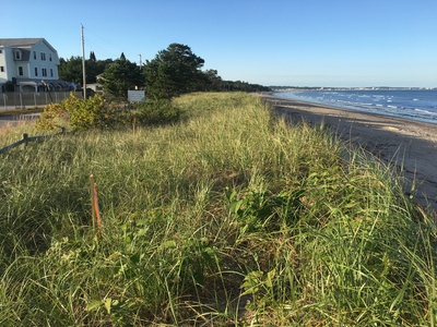
Description
This frontal dune ridge was created by adding sand to an elevation a foot above the V-zone flood hazard area (Flood Insurance Rate Map) and planted by volunteers in 2009.
Exact Creation Date
9-23-2018
Location
Saco
Supplemental Rights
Credit must be given to the photographer and the Maine Geological Survey when this photo is displayed, reproduced, distributed and/or used in derivative works.
Keywords
SMBPP; MBMAP; dune erosion; monitoring; living shoreline