


Preview
Contributing Institution
Maine Geological Survey
Document Type
Image
Identifier
6753
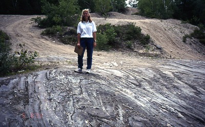
Description
Gravel pit east of Old Furbush Road. - Lisbon Falls North 7.5' NW 1/4 of quad. (Mandy Normand)
Location
Greenwood
Supplemental Rights
Credit must be given to the photographer and the Maine Geological Survey when this photo is displayed, reproduced, distributed and/or used in derivative works.
Keywords
bedrock; folds; gravel pit; Lisbon Falls; Patch Mountain; Sangerville Fm; Sspm; Mbr; Old Furbush Road