


Preview
Contributing Institution
Maine Geological Survey
Document Type
Image
Identifier
5795
Description
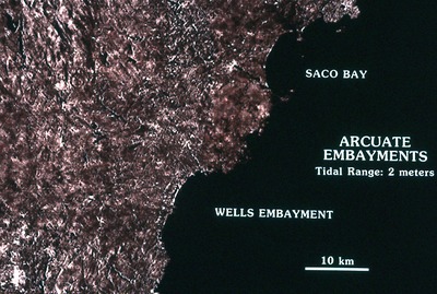
Satellite + SLAR Images of Coast - Arcuate Embayments (Tidal Range : 2 m)
Supplemental Rights
Credit must be given to the photographer and the Maine Geological Survey when this photo is displayed, reproduced, distributed and/or used in derivative works.
Keywords
satellite; SLAR; images; coast; arcuate embayments; tidal range; Wells Embayment; Saco Bay