


Preview
Contributing Institution
Maine Geological Survey
Document Type
Image
Identifier
3728
Description
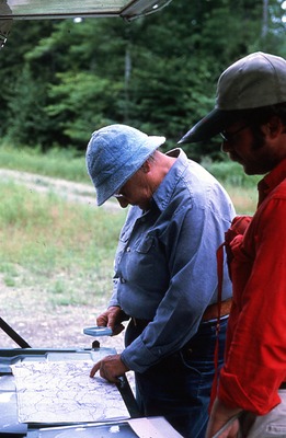
Mike Mullen and Cornelia Cameron checking maps and air photos on road to Ellis Bog north of E.L. + W.B. R.R. T7 - R13 WELS (X259152)
Broad Creation Date
August 1980
Supplemental Rights
Credit must be given to the photographer and the Maine Geological Survey when this photo is displayed, reproduced, distributed and/or used in derivative works.
Keywords
peat; checking maps; Ellis Bog; eagle lake; west branch R.R.