


Preview
Contributing Institution
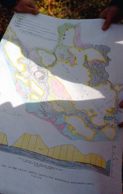
Maine Geological Survey
Document Type
Image
Identifier
3442
Description
Map of the Great Heath, Cherryfield Quadrangle, Washington County, ME
Supplemental Rights
Credit must be given to the photographer and the Maine Geological Survey when this photo is displayed, reproduced, distributed and/or used in derivative works.
Keywords
peat; map; cherryfield quad; great heath