


Preview
Contributing Institution
Maine Geological Survey
Document Type
Image
Identifier
72512
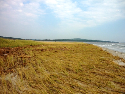
Description
Photo taken during coastal LiDAR data groundtruthing using RTK-GPS in support of marsh migration modeling
Exact Creation Date
9-18-2012
Location
Phippsburg
Supplemental Rights
Credit must be given to the photographer and the Maine Geological Survey when this photo is displayed, reproduced, distributed and/or used in derivative works.
Keywords
LiDAR groundtruthing; marsh; marsh migration; RTK-GPS; 2012