


Preview
Contributing Institution
Maine Geological Survey
Document Type
Image
Identifier
70951
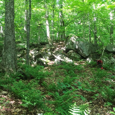
Description
Bouldery lobe of a landslide toe (downslope area of a landslide deposit). Red backpack for scale in photo right. Large boulders in this area along Maine Route 26 likely came from a landslide event instead of glacial transport.
Project Name: STATEMAP Old Speck Surficial
Exact Creation Date
7-28-2022
Location
Grafton Twp
Supplemental Rights
Credit must be given to the photographer and the Maine Geological Survey when this photo is displayed, reproduced, distributed and/or used in derivative works.
Keywords
STATEMAP; surficial geology; Old Speck Mountain quadrangle; landslide; landslide toe; Grafton Notch State Park