


Preview
Contributing Institution
Maine Geological Survey
Document Type
Image
Identifier
67279
Description
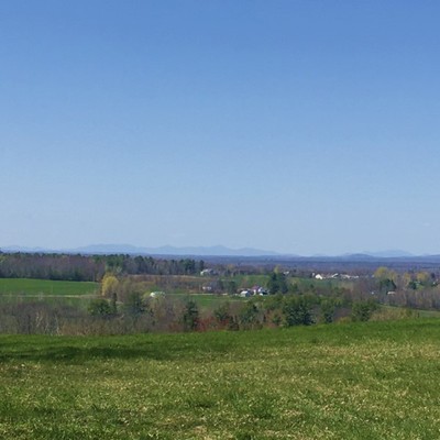
Western view from the Hills to Sea Trail, which traverses southern portions of the quadrangle. This landscape was sculpted by glacial erosion during the last Ice Age.
Project Name: STATEMAP Unity Surficial
Location
Unity
Supplemental Rights
Credit must be given to the photographer and the Maine Geological Survey when this photo is displayed, reproduced, distributed and/or used in derivative works.
Keywords
STATEMAP; Unity quadrangle; surficial geology