


Preview
Contributing Institution
Maine Geological Survey
Document Type
Image
Identifier
67166
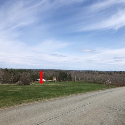
Description
A subtle break in slope (marked with red arrow) was likely created by late-glacial sea wave action. Similar features are present elsewhere in the quadrangle, all at about 340 ft (103.6 m), and may represent the local elevation limit of late-glacial marine inundation or a pause during ocean regression.
Project Name: STATEMAP Unity Pond Surficial
Location
Troy
Supplemental Rights
Credit must be given to the photographer and the Maine Geological Survey when this photo is displayed, reproduced, distributed and/or used in derivative works.
Keywords
STATEMAP; surficial geology; Unity Pond quadrangle