


Preview
Contributing Institution
Maine Geological Survey
Document Type
Image
Identifier
67163
Description
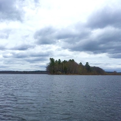
The Kanokolus Esker is a significant glacial landform and aggregate resource in the Unity Pond quadrangle. This south-southeast view from Unity Pond shows where the esker ridge forms a peninsula in the lake known as Kanokolous Point.
Project Name: STATEMAP Unity Pond Surficial
Location
Unity
Supplemental Rights
Credit must be given to the photographer and the Maine Geological Survey when this photo is displayed, reproduced, distributed and/or used in derivative works.
Keywords
STATEMAP; surficial geology; Unity Pond quadrangle; esker; Kanokolus Point