


Preview
Contributing Institution
Maine Geological Survey
Document Type
Image
Identifier
2976
Description
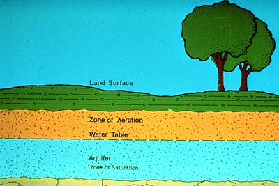
Figure showing layers of land surface, zone of aeration, the water table, the aquifer, and the zone of saturation.
Supplemental Rights
Credit must be given to the photographer and the Maine Geological Survey when this photo is displayed, reproduced, distributed and/or used in derivative works.
Keywords
education; outreach; CREST; figure; zone of aeration; zone of saturation; water table; aquifer