


Preview
Contributing Institution
Maine Geological Survey
Document Type
Image
Identifier
21425
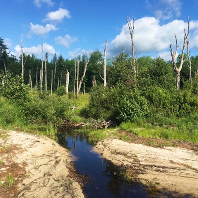
Description
View to the northwest from the modern Ellis Pond shoreline. This swampy area was once part of Ellis Pond during a slightly higher lake stage earlier in the Holocene. Modern wave action reworked the old lake sediments to form a new lower shoreline that extends to the right and left of this photo.
Project Name: STATEMAP Ellis Pond Surficial
Location
Byron
Supplemental Rights
Credit must be given to the photographer and the Maine Geological Survey when this photo is displayed, reproduced, distributed and/or used in derivative works.
Keywords
Ellis Pond; Roxbury Pond; Ellis Pond Surficial Geology Figure 6