


Preview
Contributing Institution
Maine Geological Survey
Document Type
Image
Identifier
58133
Description
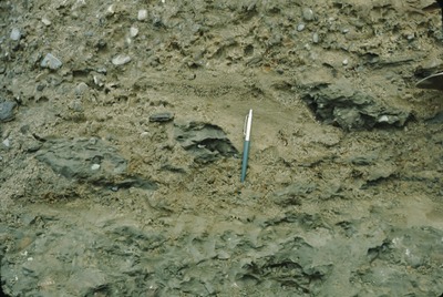
1-M-15. Augusta(15')-SW-75-45. Lower till inclusions in basal sandy zone of upper till, Pamela Drive pit. Looking SE.
Project Name: Thompson NGGDPP Grant 2020
Exact Creation Date
10-1-1978
Location
Winthrop
Supplemental Rights
Credit must be given to the photographer and the Maine Geological Survey when this photo is displayed, reproduced, distributed and/or used in derivative works.
Keywords
multiple-till locality; Winthrop