


Preview
Contributing Institution
Maine Geological Survey
Document Type
Image
Identifier
51954
Description
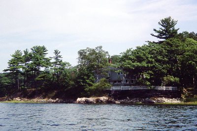
Freeport - Orrs Island 7.5" maps. Maquoit Bay/Merepoint
Project Name: Kelley NGGDPP Grant 2019
Exact Creation Date
8-9-1990
Location
Brunswick
Supplemental Rights
Credit must be given to the photographer and the Maine Geological Survey when this photo is displayed, reproduced, distributed and/or used in derivative works.
Keywords
Natalie scan; erosion, seawall