


Preview
Contributing Institution
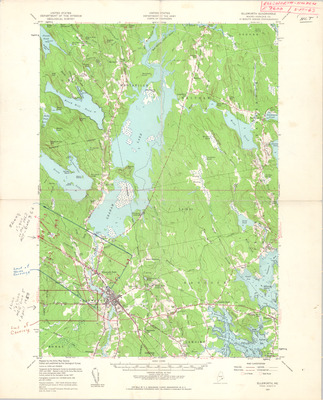
Maine Geological Survey
Document Type
Image
Identifier
MapID (DOT): 381
Description
Project Name: DOT Air Photo Collection Index Maps
Client: Maine DOT
MGS Aerial Photographs Map
Location
Hancock County
Keywords
aerial; photo; index map; Maine; Maine Geological Survey