


Preview
Contributing Institution
Maine Geological Survey
Document Type
Image
Identifier
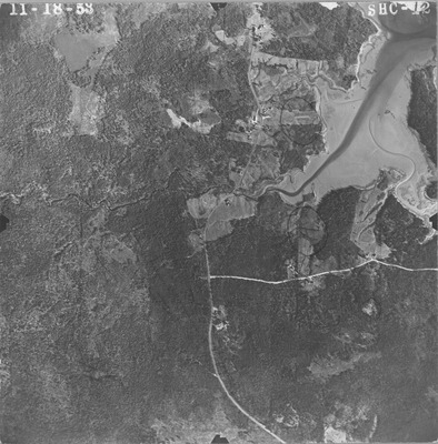
PhotoID: 76778
Description
Project Name:
Client: Maine DOT
Flown by:
Photo Scale: 1:12,000
Comments: Scale noted as 1000 ft per inch
MGS Aerial Photographs Map
Exact Creation Date
11-18-1953
Keywords
aerial; photo; Maine; Maine Geological Survey