


Preview
Contributing Institution
Maine Geological Survey
Document Type
Image
Identifier
PhotoID: 56360
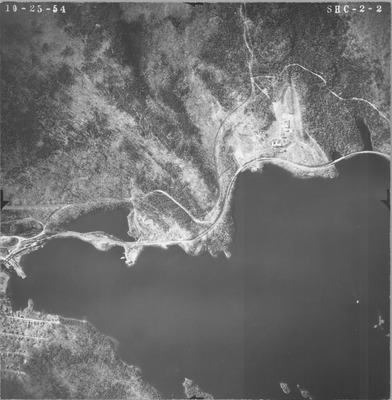
Description
Project Name:
Client: Maine DOT
Flown by:
Photo Scale: 1:12,000
Comments: Scale noted as 1000 ft per inch
MGS Aerial Photographs Map
Exact Creation Date
10-25-1954
Location
Big Moose Twp; Cove Point Twp; Greenville; Harfords Point Twp; Moosehead Junction Twp; Piscataquis County
Keywords
aerial; photo; Maine; Maine Geological Survey