


Preview
Contributing Institution
Maine Geological Survey
Document Type
Image
Identifier
PhotoID: 70546
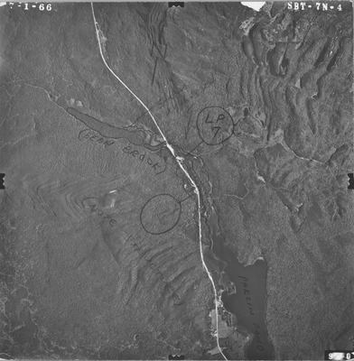
Description
Project Name:
Client: Maine DOT
Flown by: James W. Sewall
Photo Scale: 1:15,840
Comments: Some index maps with AHZ
MGS Aerial Photographs Map
Exact Creation Date
7-1-1966
Location
Bradstreet Twp; Jackman; Johnson Mountain Twp; Long Pond Twp; Misery Gore Twp; Parlin Pond Twp; Upper Enchanted Twp
Keywords
aerial; photo; Maine; Maine Geological Survey