


Preview
Contributing Institution
Maine Geological Survey
Document Type
Image
Identifier
PhotoID: 42468
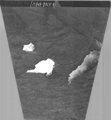
Description
Project Name:
Client: Maine DOT
Flown by: James W. Sewall
Photo Scale: 1:24,000
Comments: Trapezoidal airphotos
MGS Aerial Photographs Map
Exact Creation Date
10-9-1931
Location
Bowerbank; Elliottsville Twp; T7 R9 NWP; Willimantic
Keywords
aerial; photo; Maine; Maine Geological Survey