


Preview
Contributing Institution
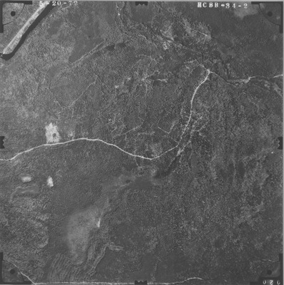
Maine Geological Survey
Document Type
Image
Identifier
PhotoID: 53104
Description
Project Name:
Client: Maine DOT
Flown by: James W. Sewall
Photo Scale: 1:12,000
Comments:
MGS Aerial Photographs Map
Exact Creation Date
5-20-1972
Location
Eagle Lake; T15 R6 WELS; T16 R6 WELS; Winterville Plt
Keywords
aerial; photo; Maine; Maine Geological Survey