


Preview
Contributing Institution
Maine Geological Survey
Document Type
Image
Identifier
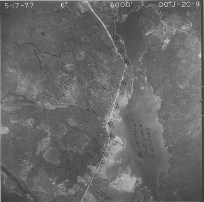
PhotoID: 44301
Description
Project Name:
Client: Maine DOT
Flown by: Aerial Survey & Photo, Inc.
Photo Scale: 1:12,000
Comments:
MGS Aerial Photographs Map
Exact Creation Date
5-17-1977
Location
Blue Hill
Keywords
aerial; photo; Maine; Maine Geological Survey