


Preview
Contributing Institution
Maine Geological Survey
Document Type
Image
Identifier
PhotoID: 21263
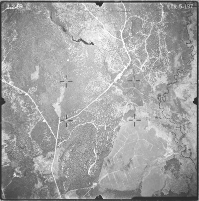
Description
Project Name: Invitation No. I-68-534
Client: USDA Forest Service/Maine Forest Service
Flown by: Harold Hoskins & Associates, Inc
Photo Scale: 1:15,840
Comments:
MGS Aerial Photographs Map
Exact Creation Date
7-2-1969
Location
Centerville Twp; Columbia Falls
Keywords
aerial; photo; Maine; Maine Geological Survey