


Preview
Contributing Institution
Maine Geological Survey
Document Type
Image
Identifier
PhotoID: 41049
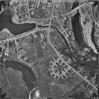
Description
Project Name:
Client: Maine DOT
Flown by: James W. Sewall
Photo Scale: 1:6,000
Comments:
MGS Aerial Photographs Map
Exact Creation Date
5-2-1985
Location
Fort Fairfield
Keywords
aerial; photo; Maine; Maine Geological Survey