


Preview
Contributing Institution
Maine Geological Survey
Document Type
Image
Identifier
PhotoID: 25571
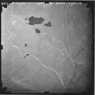
Description
Project Name:
Client: USDA Agriculture Stabilization and Conservation Service
Flown by: James W. Sewall
Photo Scale: 1:40,000
Comments:
MGS Aerial Photographs Map
Exact Creation Date
7-31-1981
Location
Byron; Rangeley Plt; Sandy River Plt; Township 6 North of Weld; Township D; Township E
Keywords
aerial; photo; Maine; Maine Geological Survey