


Preview
Contributing Institution
Maine Geological Survey
Document Type
Image
Identifier
PhotoID: 25316
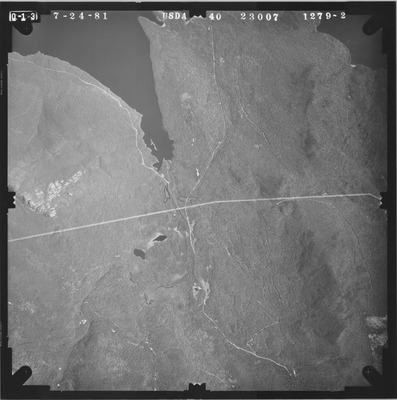
Description
Project Name:
Client: USDA Agriculture Stabilization and Conservation Service
Flown by: James W. Sewall
Photo Scale: 1:40,000
Comments:
MGS Aerial Photographs Map
Exact Creation Date
7-24-1981
Location
Carrabassett Valley; Carrying Place Town Twp; Dead River Twp; Highland Plt
Keywords
aerial; photo; Maine; Maine Geological Survey