


Preview
Contributing Institution
Maine Geological Survey
Document Type
Image
Identifier
MapID: 708
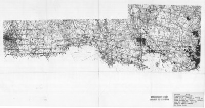
Description
Project Name: Proposed Coastal Study AS-1533
Client: Maine Geological Survey
Flown by: James W. Sewall
Photo Scale: 1:12,000
Comments: Lines 1 and 2 are at a scale of 1:18,000
MGS Aerial Photographs Map
Broad Creation Date
1977
Location
Cumberland County; York County
Keywords
aerial; photo; index map; Maine; Maine Geological Survey