


Preview
Contributing Institution
Maine Geological Survey
Document Type
Image
Identifier
PhotoID: 72831
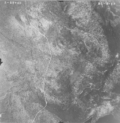
Description
Project Name:
Client: Maine DOT
Flown by: James W. Sewall
Photo Scale: 1:15,840
Comments:
MGS Aerial Photographs Map
Exact Creation Date
5-29-1962
Location
Rangeley Plt; Township D; Township E
Keywords
aerial; photo; Maine; Maine Geological Survey