


Preview
Contributing Institution
Maine Geological Survey
Document Type
Image
Identifier
PhotoID: 44616
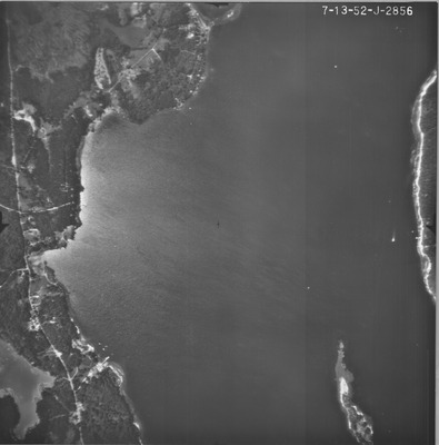
Description
Project Name:
Client: Maine DOT
Flown by: Official Photograph Coast & Geodetic Survey
Photo Scale: 1:9,600
Comments: Index maps are with BBH
MGS Aerial Photographs Map
Exact Creation Date
7-13-1952
Keywords
aerial; photo; Maine; Maine Geological Survey