


Preview
Contributing Institution
Maine Geological Survey
Document Type
Image
Identifier
PhotoID: 40237
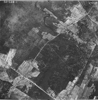
Description
Project Name:
Client: Maine DOT
Flown by: Sargent, Webster, Crenshaw & Folley
Photo Scale: 1:12,000
Comments: Source noted as DOT58
MGS Aerial Photographs Map
Exact Creation Date
4-30-1958
Location
Hermon
Keywords
aerial; photo; Maine; Maine Geological Survey