


Preview
Contributing Institution
Maine Geological Survey
Document Type
Image
Identifier
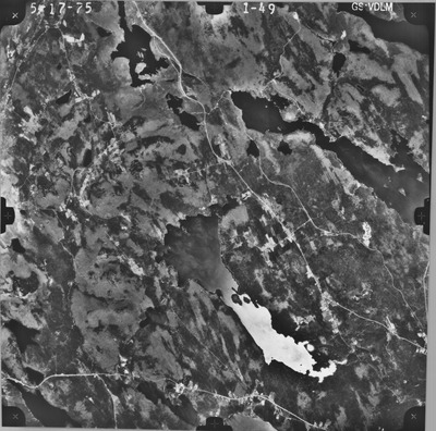
PhotoID: 24178
Description
Project Name: USGS
Client:
Flown by: Murray-McCormick Aerial Survey
Photo Scale: 1:78,000
Comments: Flight height above mean ground: 39,000
MGS Aerial Photographs Map
Exact Creation Date
5-17-1975
Keywords
aerial; photo; Maine; Maine Geological Survey