


Preview
Contributing Institution
Maine Geological Survey
Document Type
Image
Identifier
PhotoID: 27285
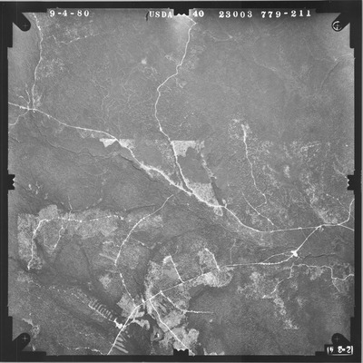
Description
Project Name:
Client: USDA Agriculture Stabilization and Conservation Service
Flown by: James W. Sewall
Photo Scale: 1:40,000
Comments:
MGS Aerial Photographs Map
Exact Creation Date
9-4-1980
Location
Garfield Plt; Nashville Plt; T11 R7 WELS; T12 R7 WELS
Keywords
aerial; photo; Maine; Maine Geological Survey