


Preview
Contributing Institution
Maine Geological Survey
Document Type
Image
Identifier
PhotoID: 9259
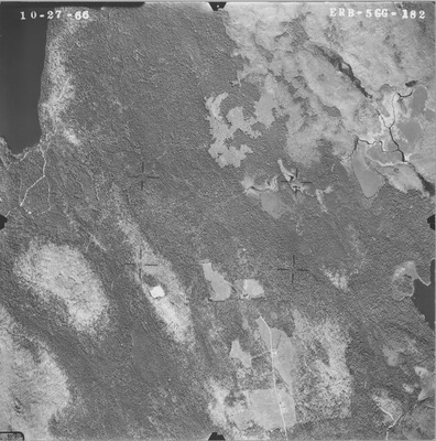
Description
Project Name:
Client: USDA Soil Conservation Service
Flown by: James W. Sewall
Photo Scale: 1:20,000
Comments:
MGS Aerial Photographs Map
Exact Creation Date
10-27-1966
Location
Eastbrook; Franklin; T16 MD; T9 SD
Keywords
aerial; photo; Maine; Maine Geological Survey