


Preview
Contributing Institution
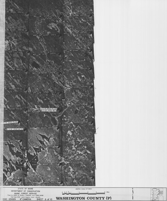
Maine Geological Survey
Document Type
Image
Identifier
MapID: 702
Description
Project Name:
Client: Maine Forest Service
Flown by: Aerial Survey & Photo, Inc.
Photo Scale: 1:40,000
Comments:
MGS Aerial Photographs Map
Broad Creation Date
1980
Location
Washington County
Keywords
aerial; photo; index map; Maine; Maine Geological Survey