


Preview
Contributing Institution
Maine Geological Survey
Document Type
Image
Identifier
MapID: 707
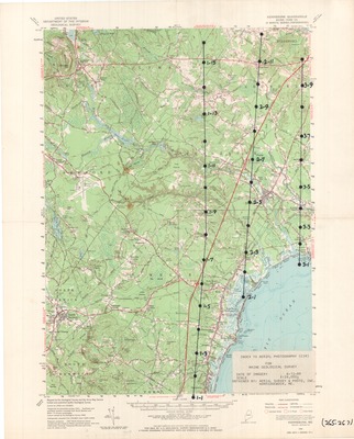
Description
Project Name: Color Infrared for Wells Kennebunk - Coastal Wetlands
Client: Maine Geological Survey
Flown by: Aerial Survey and Photo, Inc
Photo Scale: 1:24,000
Comments:
MGS Aerial Photographs Map
Broad Creation Date
1989
Location
York County
Keywords
aerial; photo; index map; Maine; Maine Geological Survey