Home
Search
Browse State Agencies
My Account
About
Digital Commons Network™
Skip to main content
Home
About
FAQs
My Account
Home
>
StateDocs
>
sos
>
ARCHIVES
>
ARC_IMG
>
ARC_MAPS
>
MAPS_BY_COUNTY
>
MAPS_PISCATAQUIS_COUNTY
Piscataquis County
Printing is not supported at the primary Gallery Thumbnail page. Please first navigate to a specific Image before printing.
Follow
Switch View to List
View Slideshow
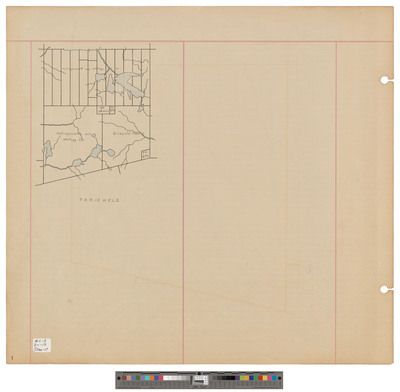
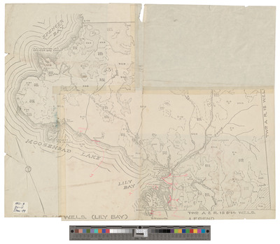
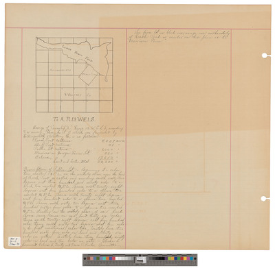
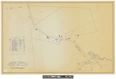
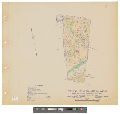
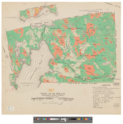
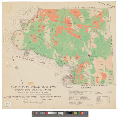
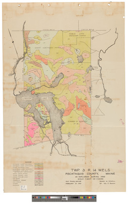
TA, R14 WELS, Lily Bay township. Shows forest type, telegphone line.
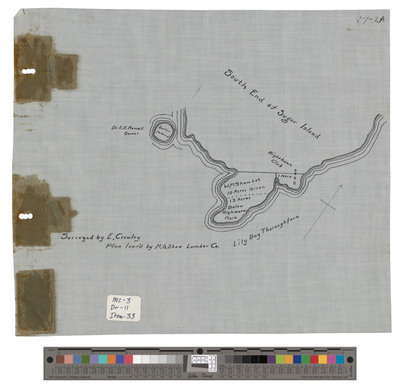
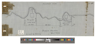
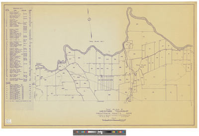
TA, R14 WELS, Lily Bay township. Shows outline and public lot with camps.
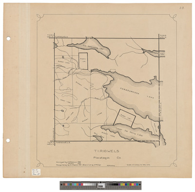
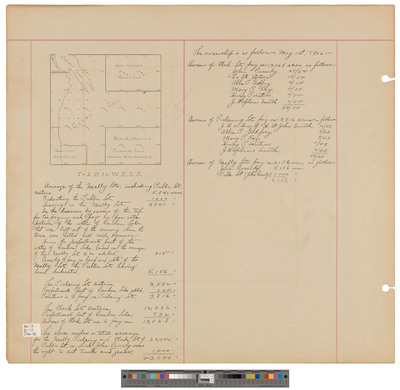
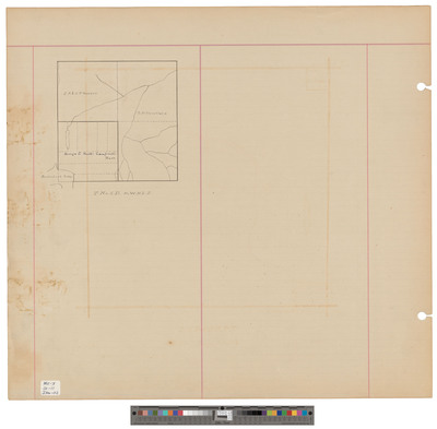
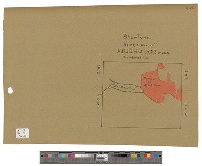
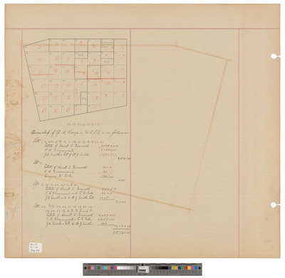
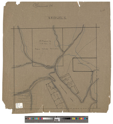
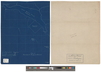
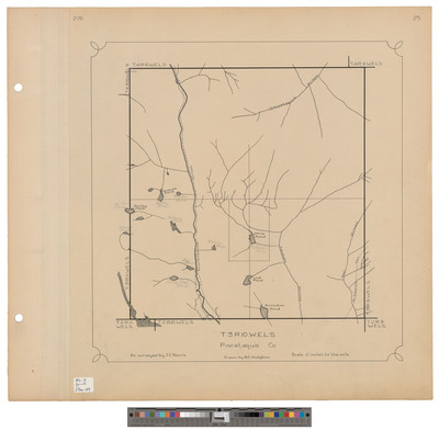
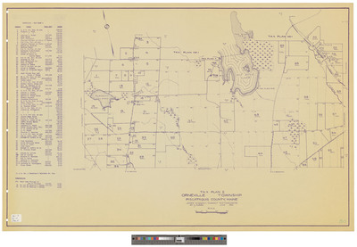
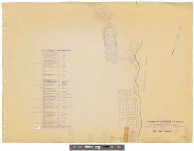
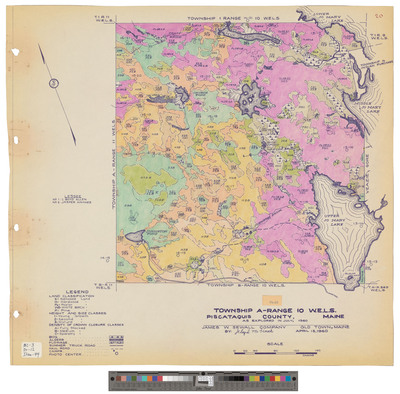
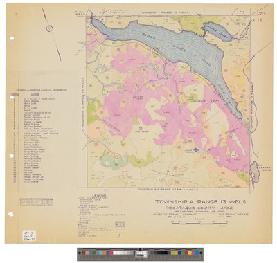
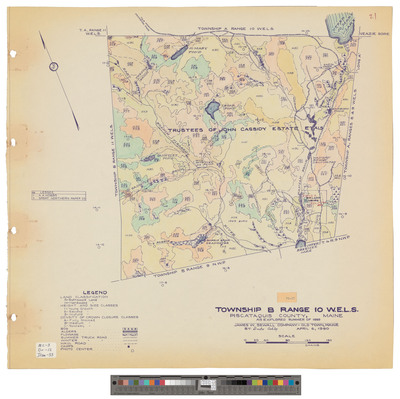
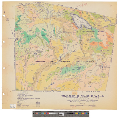
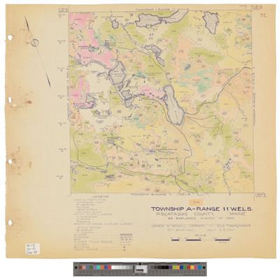
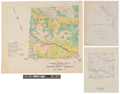
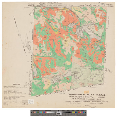
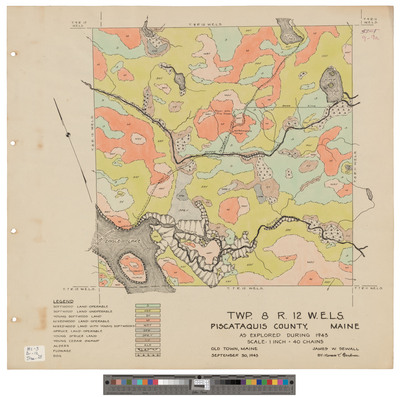
TA, R12 WELS, Shawtown township. Shows lots, public lots and land partition.
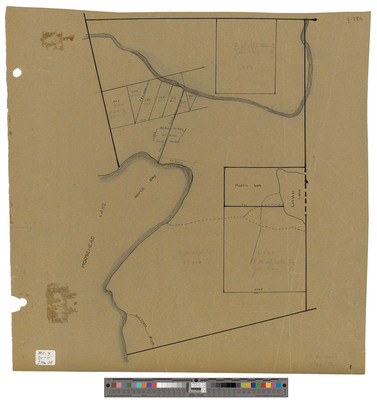
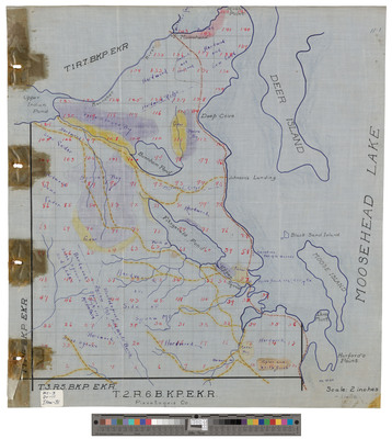
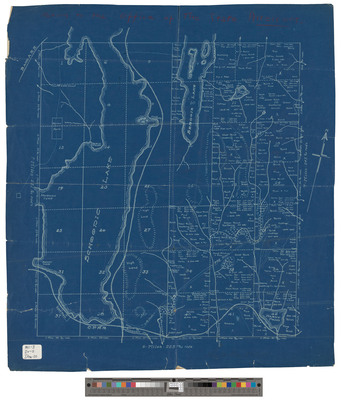
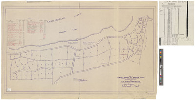
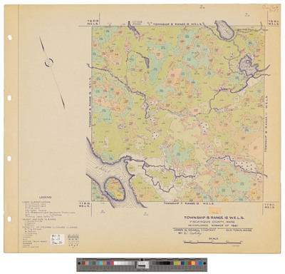
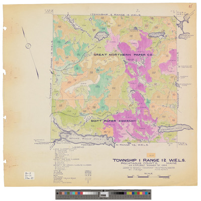
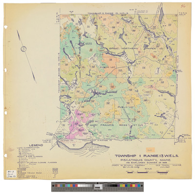
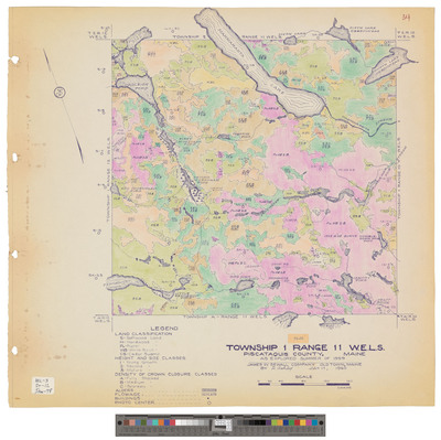
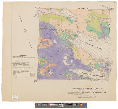
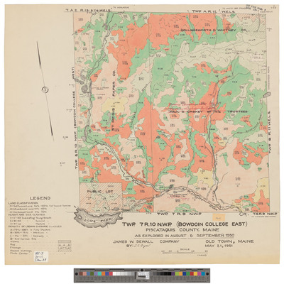
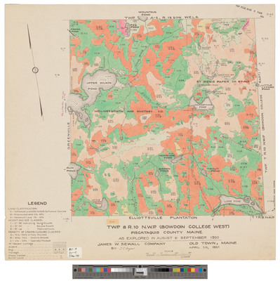
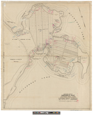
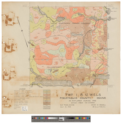
T1, R10 WELS, Wildland township. Shows public lots, roads, phone lines and camps. Great Northern Paper Company.
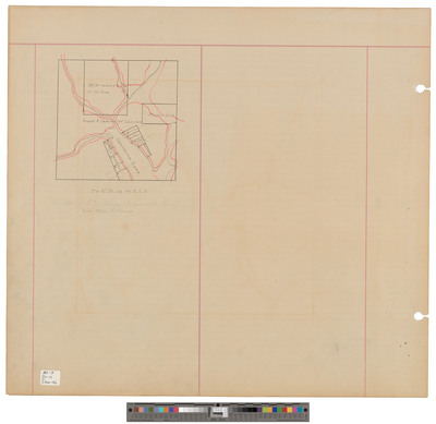
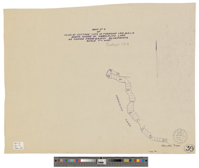
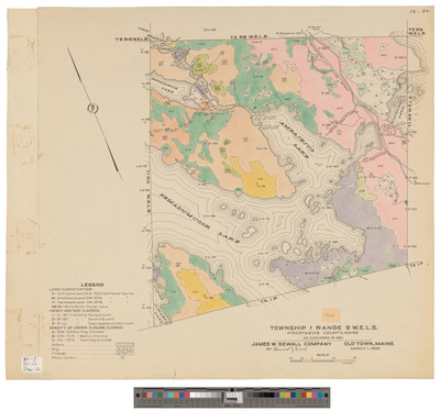
T1, R9 WELS, Wildland township. Shows forest type, roads, phone lines. Tracing.
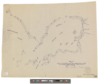
T1, R9 WELS, Wildland township. Shows phone lines and roads.
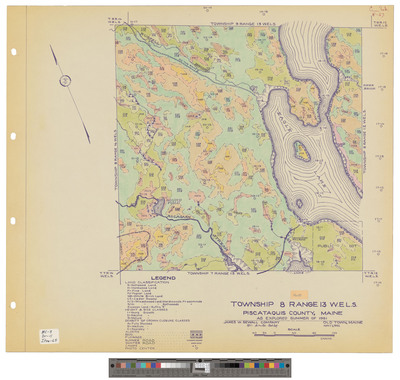
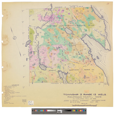
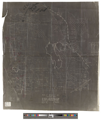
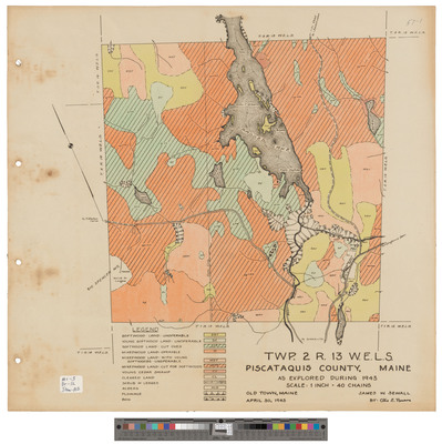
T3, R12 WELS, Wildland township. Shows forest type, public lots and roads.
T3, R12 WELS, Wildland township. Shows public lot, roads, phone lines and camps.
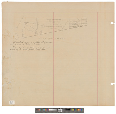
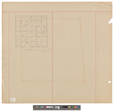
TA, R12 WELS, Shawtown township. Shows land partition in southern half. Blueprint.
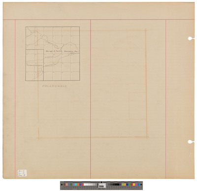
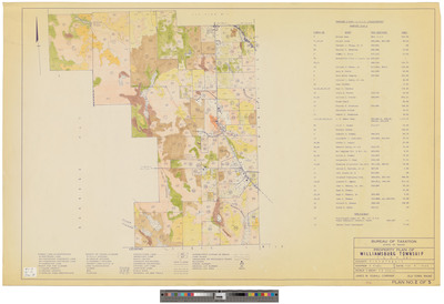
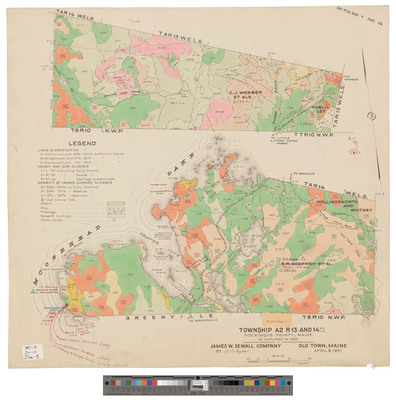
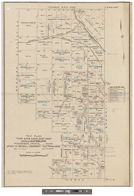
Williamsburg township Eastern part. Shows forest type, road, buildings and railroad in color. Tracing.
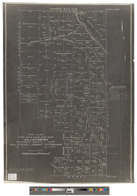
Williamsburg township Eastern part. Shows lots, roads, and railroad. Tracing.
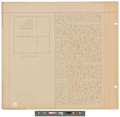
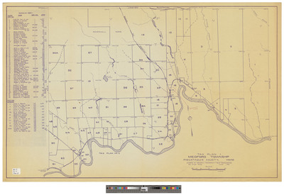
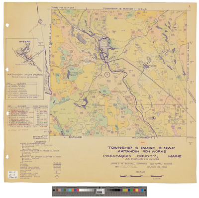
West part of T6, R8 NWP, Barnard Plantation. Shows forest type, lots and roads.
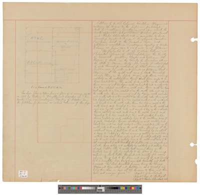
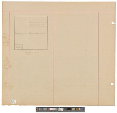
West part of T6, R8 NWP, Barnard Plantation. Shows land owners, lots and roads.
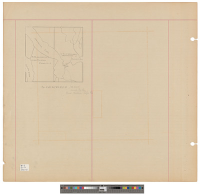
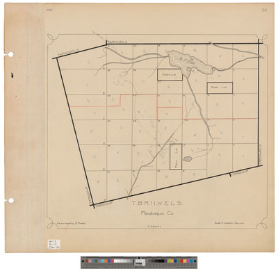
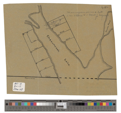
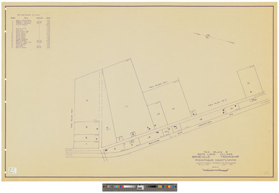
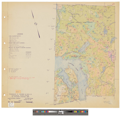
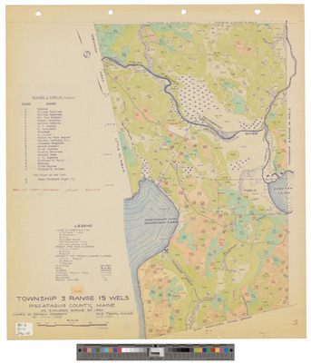
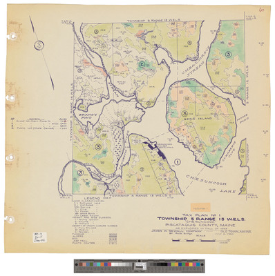
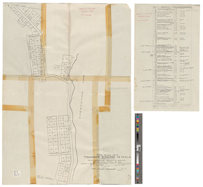
T5, R13 WELS. Lots in Chesuncook Village. Board of Assessors.
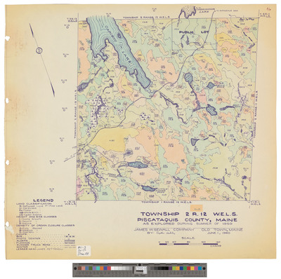
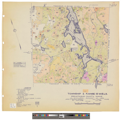
T2, R12 WELS, Wildland township. Outline showing roads and phone lines.
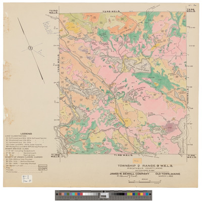
T2, R9 WELS, Wildland township. Outline showing phone line and roads.
T3, R10 WELS, Wildland township. Shows east one sixth, phone lines and roads.
T3, R10 WELS, Wildland township. Shows east one sixth, phone lines and roads. Tracing.
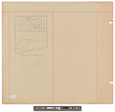
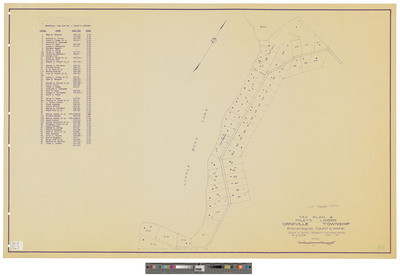
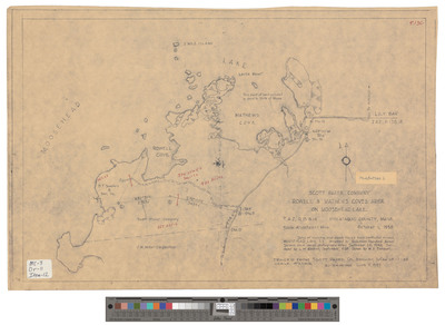
T3, R9 WELS, Mt Katahdin township. Shows forest type, public lot, trails and Mount Katahdin.
T3, R9 WELS, Mt Katahdin township. Shows road, trails and Mount Katahdin.
Page
8
of
12
5
6
7
8
9
10
11
Search
Enter search terms:
Select context to search:
in this collection
Digital Maine
Advanced Search
Notify me via email or
RSS
Browse
State Agencies
Subjects
Contributors
For Agency Contributors
FAQs
Featured Links
Maine Government
Maine State Library
Maine State Agencies
Digital Maine Partners
Gallery Locations
View gallery on map
View gallery in Google Earth


