Home
Search
Browse State Agencies
My Account
About
Digital Commons Network™
Skip to main content
Home
About
FAQs
My Account
Home
>
StateDocs
>
sos
>
ARCHIVES
>
ARC_IMG
>
ARC_MAPS
>
MAPS_BY_COUNTY
>
MAPS_PISCATAQUIS_COUNTY
Piscataquis County
Printing is not supported at the primary Gallery Thumbnail page. Please first navigate to a specific Image before printing.
Follow
Switch View to List
View Slideshow
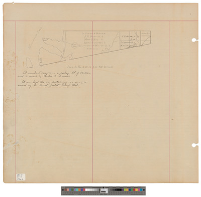
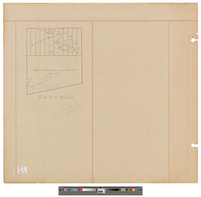
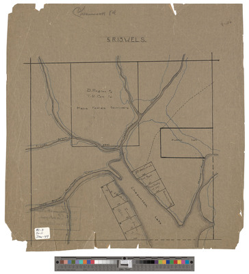
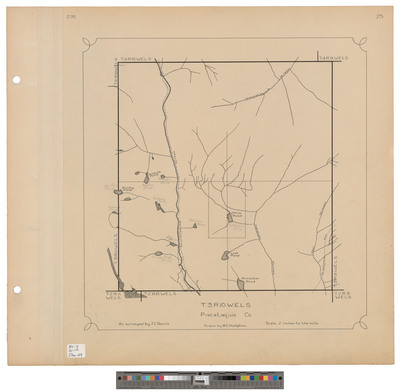
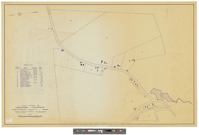
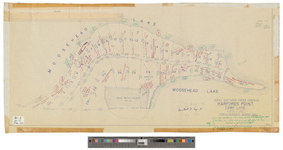
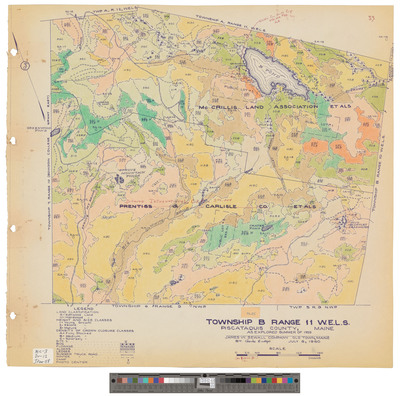
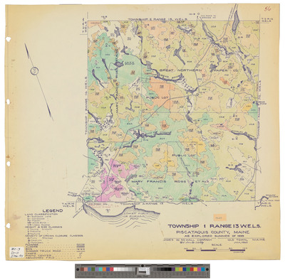
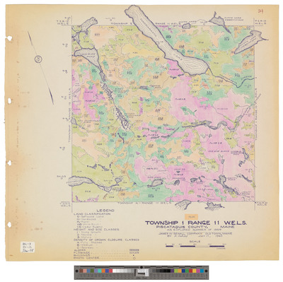
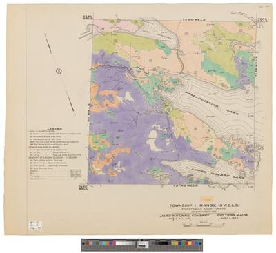
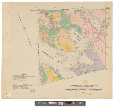
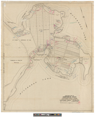
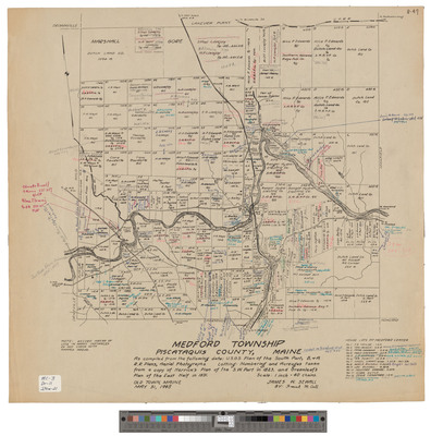
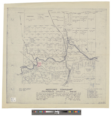
T3, R11 WELS, Wildland township. Outline with public lot sketch.
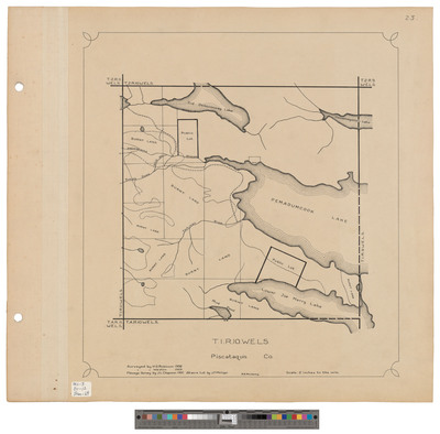
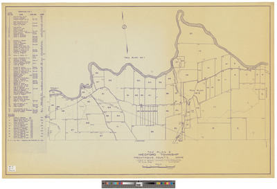
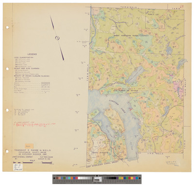
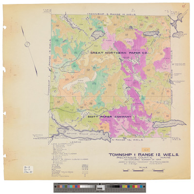
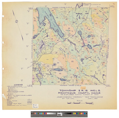
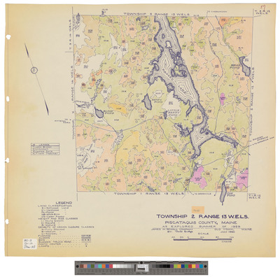
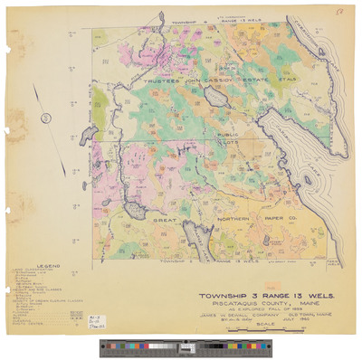
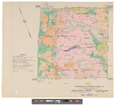
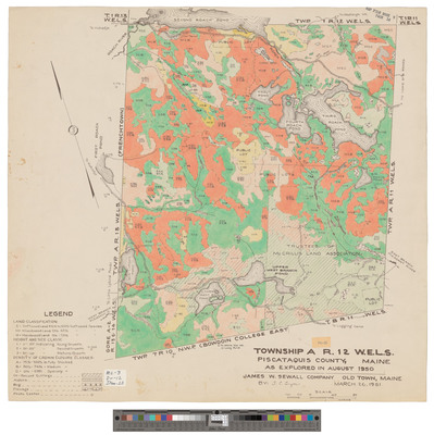
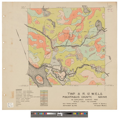
T3, R12 WELS, Wildland township. Outline showing public lots and roads.
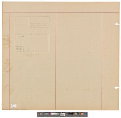
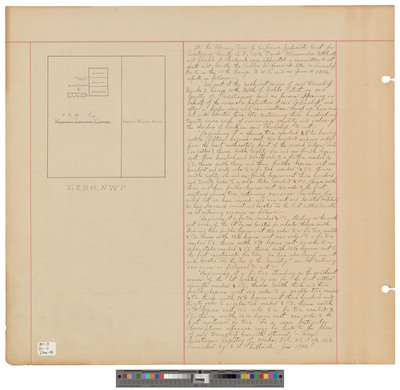
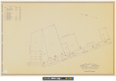
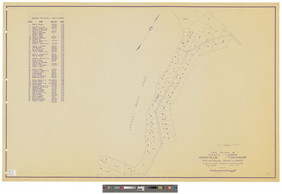
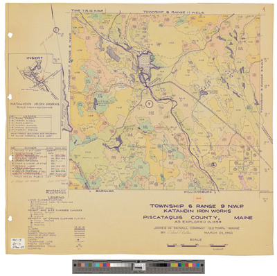
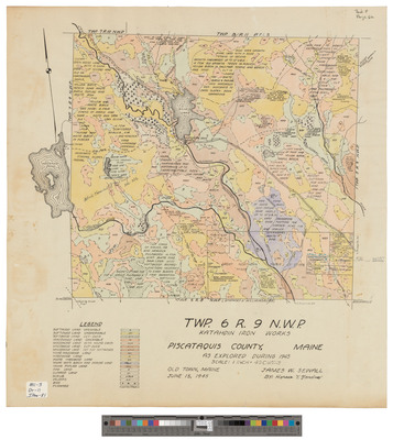
T8, R9 NWP, Elliotsville Plantation. Shows lots, public lots and roads. Board of Assessors.
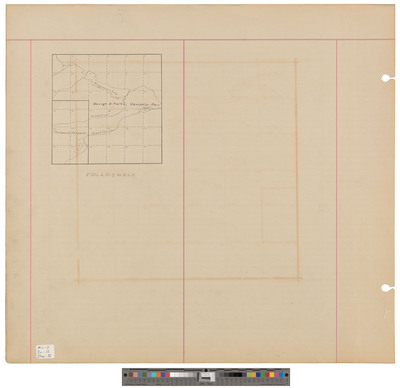
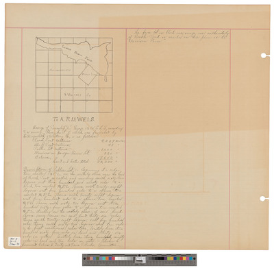
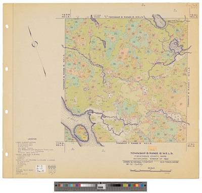
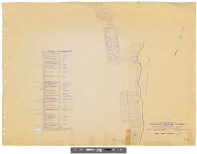
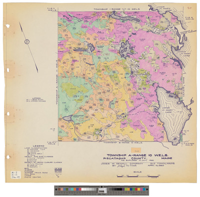
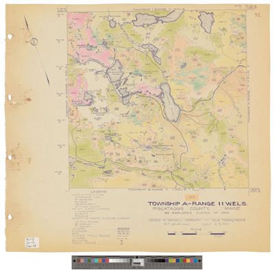
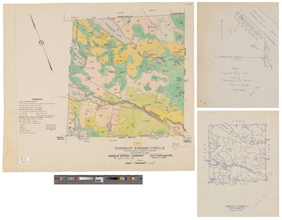
TA, R10 WELS. Outline showing sections.
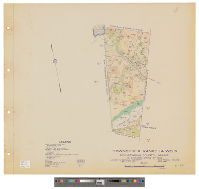
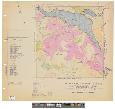
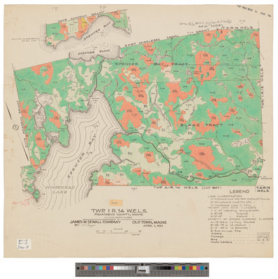
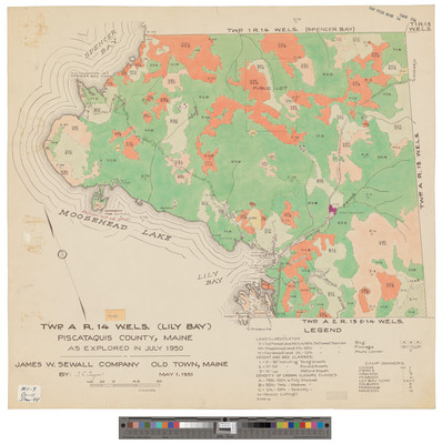
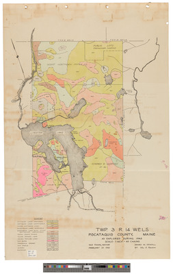
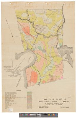
TX, R14 WELS. Outline showing sections.
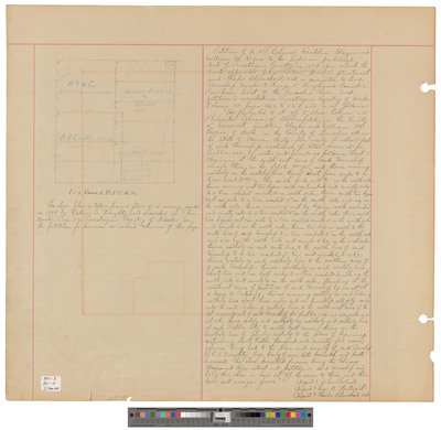
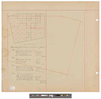
T3, R2 BKP EKR, Kingsbury Plantation. Shows lots copy from county atlas. Board of Assessors.
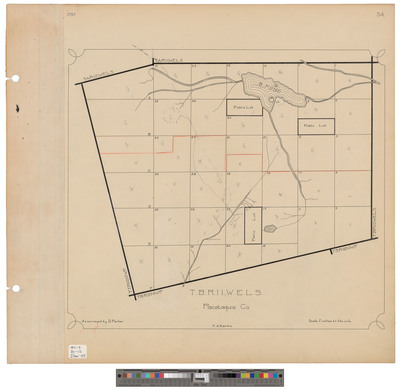
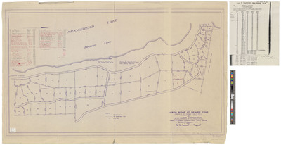
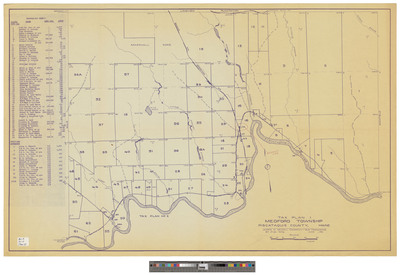
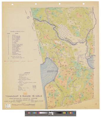
T4, R8 NWP, Lakeview Plantation. Shows lots, public lots, roads and railroad. Board of Assessors.
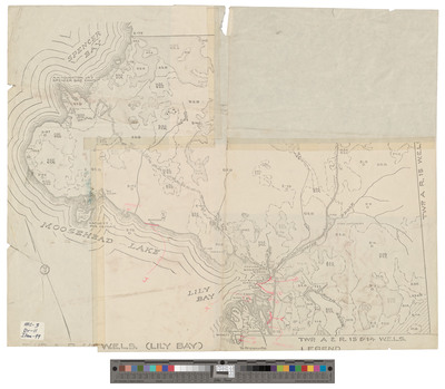
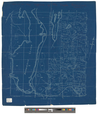
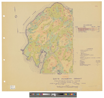
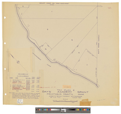
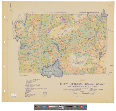
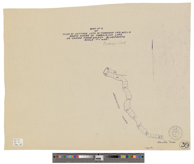
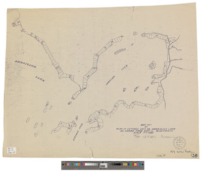
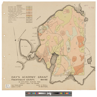
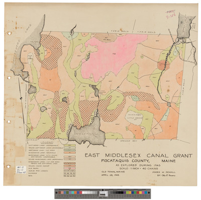
East Middlesex Canal Grant WELS. Shows topography between lakes.
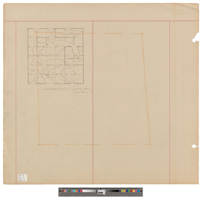
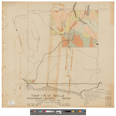
T3, R12 WELS, Wildland township. Outline showing public lots.
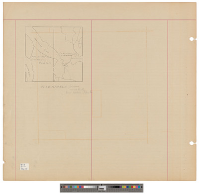
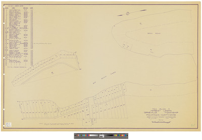
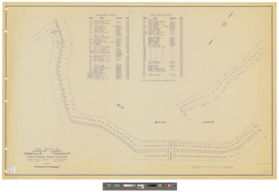
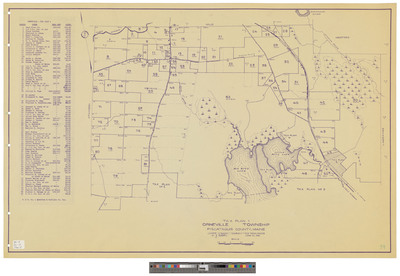
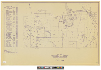
Greenville. Copy of pencil sketch showing bounds as incorporated. Board of Assessors.
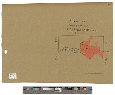
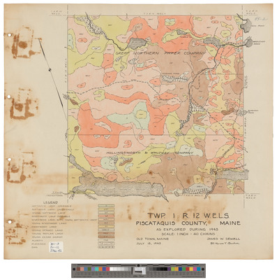
T1, R12 WELS, Wildland township. A sketch showing owners and burn area.
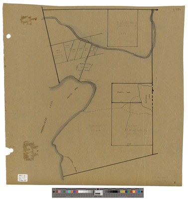
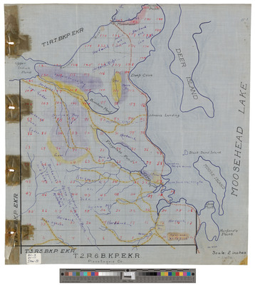
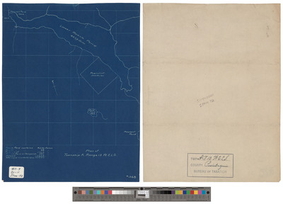
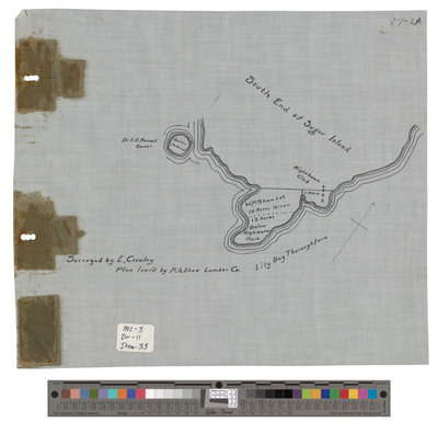
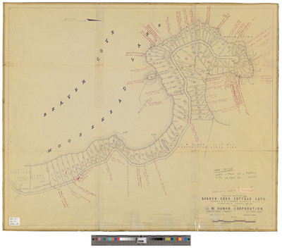
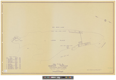
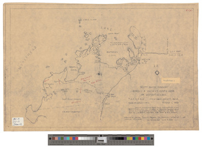
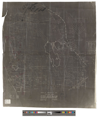
T2, R6 BKP EKR, Big [Moose} Township. Shows south end of dam and land owned by Kennebec Log Driving Company.
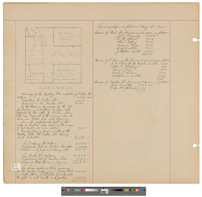
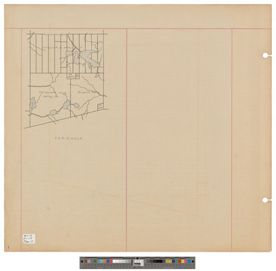
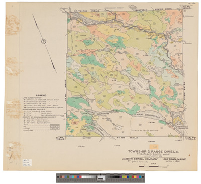
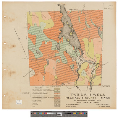
T2, R12 WELS, Wildland township. Shows sections, public lots and roads.
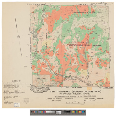
T7, R10 NWP, Bowdoin College East. Outline showing public lots and road. Board of Assessors.
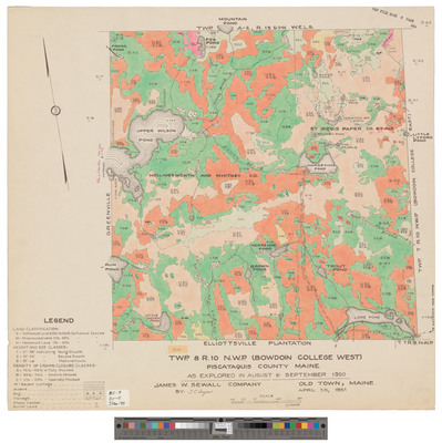
T8, R10 NWP, Bowdoin College West. Outline showing public lots and owners. Board of Assessors.
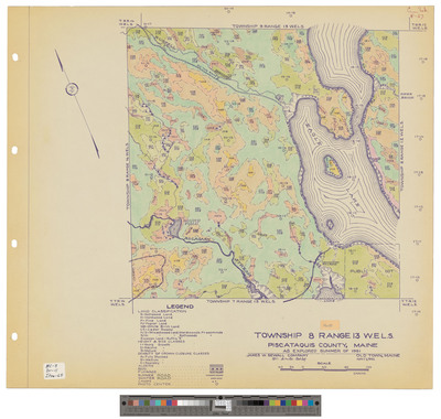
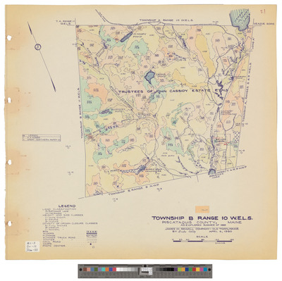
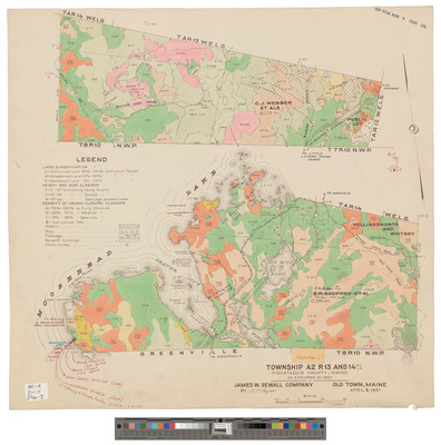
T8, R12 WELS, Soper Mountain township. Outline showing sections and public lot.
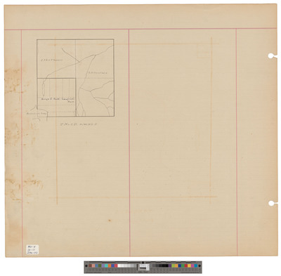
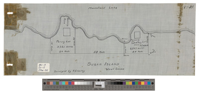
T2, R6 BKP EKR, Big [Moose] township. Shows roads and railroad. Board of Assessors. Forestry Bureau.
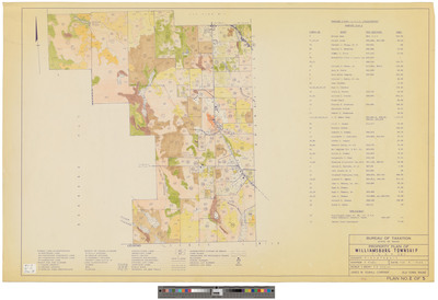
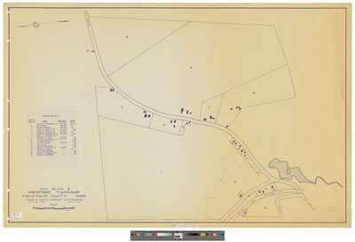
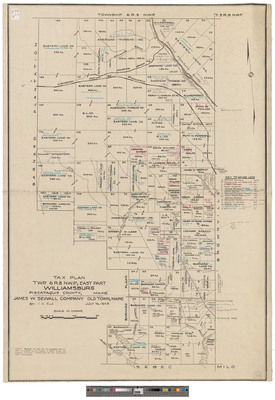
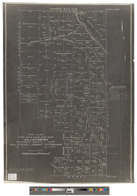
T6, R8 NWP, Barnard Plantation and Williamsburg. Shows lots and roads. Tracing.
T6, R8 NWP, Barnard Plantation and Williamsburg. Shows lots and roads. Tracing.
East Middlesex Canal Grant WELS. Shows sections.
Page
11
of
12
6
7
8
9
10
11
12
Search
Enter search terms:
Select context to search:
in this collection
Digital Maine
Advanced Search
Notify me via email or
RSS
Browse
State Agencies
Subjects
Contributors
For Agency Contributors
FAQs
Featured Links
Maine Government
Maine State Library
Maine State Agencies
Digital Maine Partners
Gallery Locations
View gallery on map
View gallery in Google Earth


![T2, R6 BKP EKR, Big [Moose] township. Shows roads and railroad. Board of Assessors. Forestry Bureau. by Board of Assessors](https://digitalmaine.com/maps_piscataquis_county/1026/thumbnail.jpg "T2, R6 BKP EKR, Big [Moose] township. Shows roads and railroad. Board of Assessors. Forestry Bureau. by Board of Assessors")


