

Preview
Contributing Institution
Maine State Archives
Document Type
StillImage
Identifier
4-308519-I021
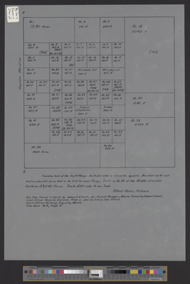
Description
Undated tracing by James Elliott, Forest Ranger, of the original Rufus Putnam survey of T2 ND, containing 23,040 acres. Scale of 200 rods to 1 inch. Copy of Plan Book 18A, Page 31.
Language
English
Location
Penobscot County; Grand Falls Twp
Keywords
Cartography; Maps; Surveys