

Preview
Contributing Institution
Maine State Archives
Document Type
StillImage
Identifier
4-361695-I010
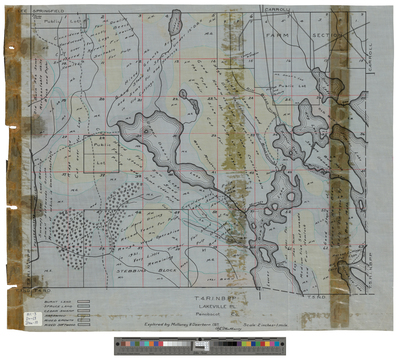
Description
Plan of Township 4, Range 1 NBPP (Lakeville) in Penobscot County. Surveyed by Mullaney and Dearborn. Indicates burnt land, spruce land, cedar swamp, hardwood, mixed growth and mixed softwood forests.
Scale 2 inches to 1 mile.
Exact Creation Date
1921
Language
English
Location
Penobscot County; Lakeville
Keywords
Cartography; Maps; Surveys