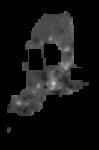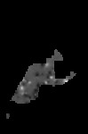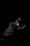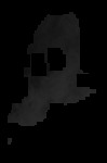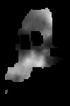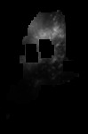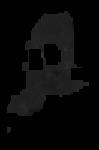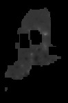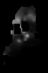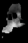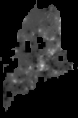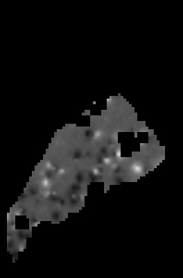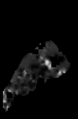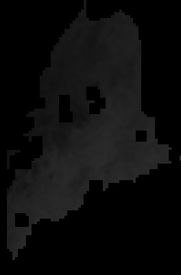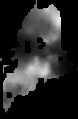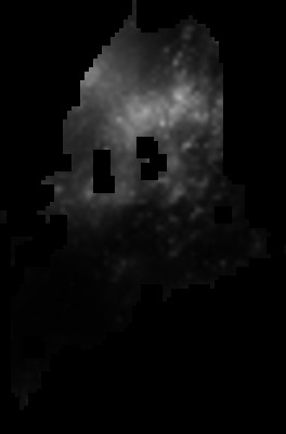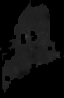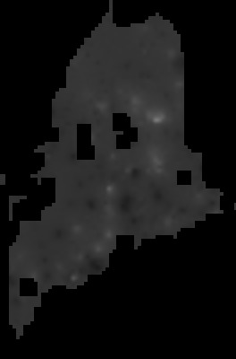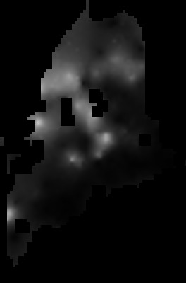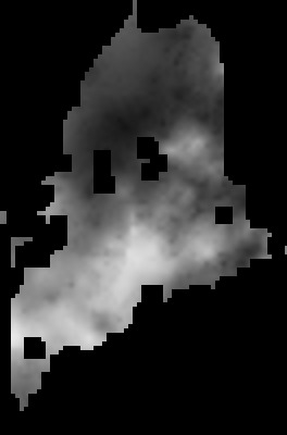
This collection contains modeled occupancy-probability rasters for 12 species observed during specialized marsh-bird and nightjar surveys conducted as part of Maine Bird Atlas 2.
Occupancy probability was estimated using spatial occupancy models implemented with the R package spOccupancy. The models incorporate spatial patterns and habitat relationships to predict the probability that each species occupied individual raster cells.
Models based on marsh-bird survey data were projected across Maine, while models based on nightjar survey data were projected within the nightjar survey area in the southern portion of the state. These rasters represent predicted probability of occurrence rather than estimated bird density or population size.
Each GeoTIFF has a spatial resolution of 5,000 meters by 5,000 meters. Raster cells are similar in scale to Maine Bird Atlas survey blocks but do not correspond exactly with the block boundaries. The files use the WGS 84 / UTM Zone 19N coordinate reference system (EPSG:32619).
Additional information about the modeling methods is provided by Leppold et al. (in press).