Home > StateDocs > Maine State Library (MSL) > MSL Special Collections > Myron Avery Collection > AVERY_MAPS
Follow
Page 2 of 15
Advanced Search


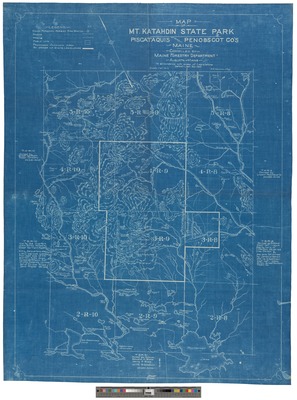
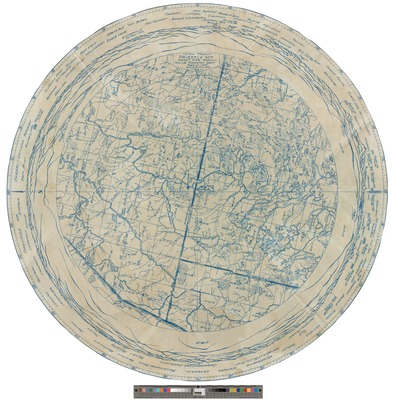
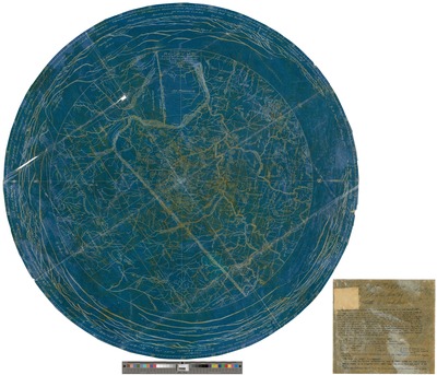
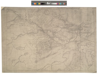
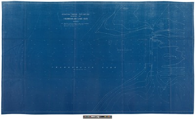
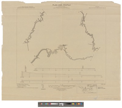
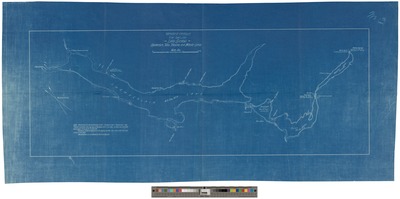
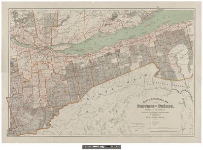
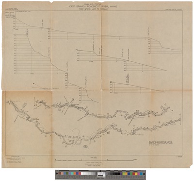
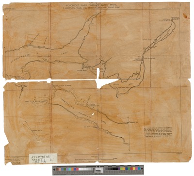
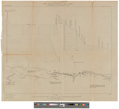
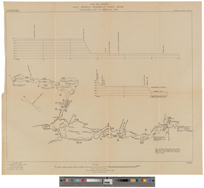
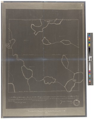
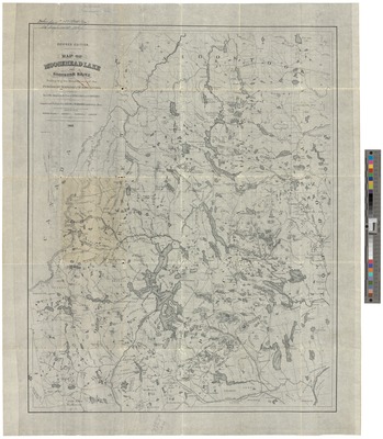
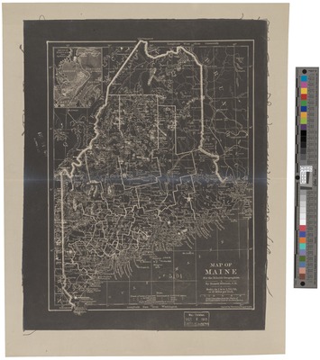
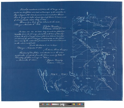
 1932 by Great Northern Paper Co and Myron Avery")