Home
Search
Browse State Agencies
My Account
About
Digital Commons Network™
Skip to main content
Home
About
FAQs
My Account
Home
>
StateDocs
>
Maine State Library (MSL)
>
MSL Special Collections
>
Myron Avery Collection
>
AVERY_MAPS
Avery Maps
Printing is not supported at the primary Gallery Thumbnail page. Please first navigate to a specific Image before printing.
Follow
Switch View to List
View Slideshow
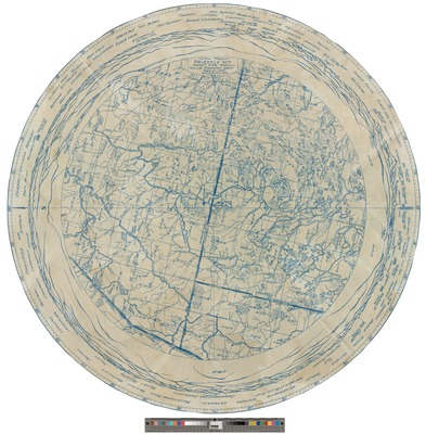
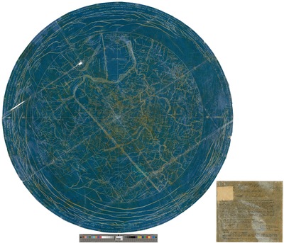
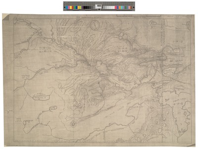
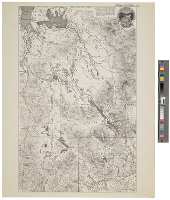
Plan of the Interior Parts of the Country from Penobscot to Quebec
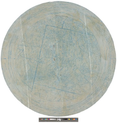
Survey of Telos Canal and Dam
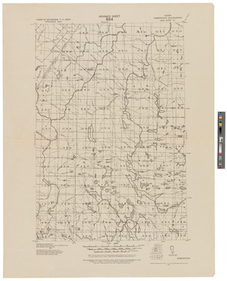
Maine, Minor Civil Divisions 1962
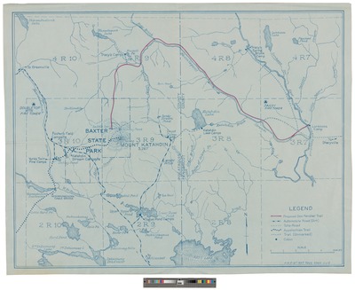
Plan of Proposed Mount Katahdin National Park 1941
Maine Forest Service Divisional Map 1940
Massachusetts (Eastern Part, i.e. the District of Maine) 1938
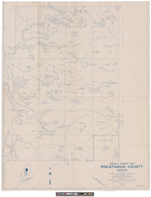
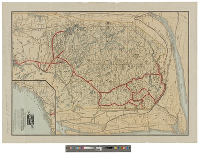
General Highway Map, Piscataquis County, Maine 1938
Guide Map of the Great Smoky Mountains National Park 1938
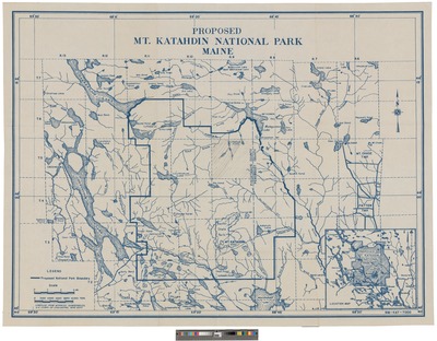
Proposed Mt. Katahdin National Park, Maine 1938
Proposed Mount Katahdin National Park 1937
Musquacook District: St. John Watershed 1933
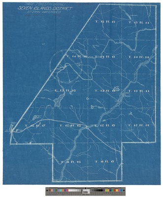
Seven Island District: St. John Watershed 1933
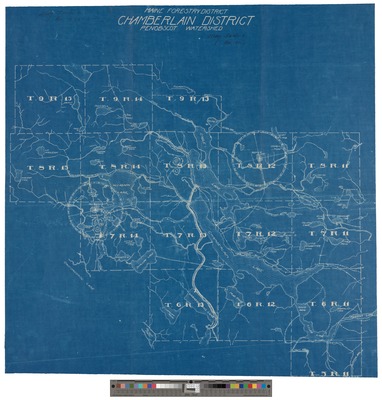
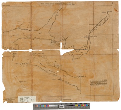
Chamberlain District, Penobscot Watershed 1933
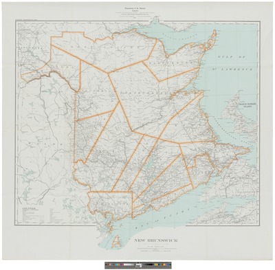
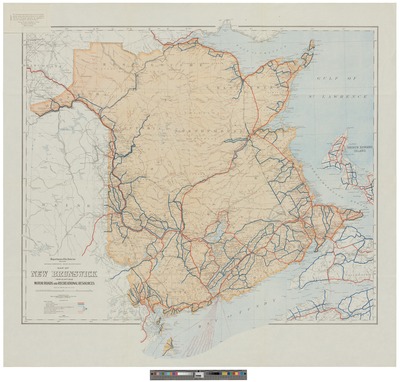
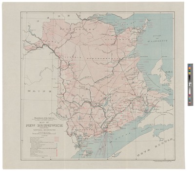
New Brunswick 1932
Map of Saint John Allagash Region 1932
Map of West Branch Watershed, Penobscot River(4) 1932
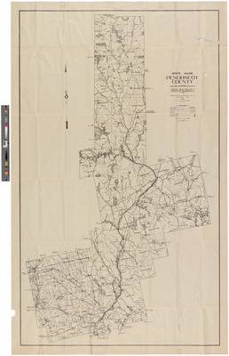
Penobscot County, State of Maine 1932
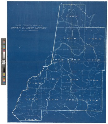
Upper St. John District: St. John Watershed. 1930
Allagash District St. John Watershed 1930
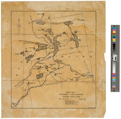
Penobscot Lake and Vicinity: Sketch Map 1929
Katahdin Region 1929
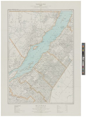
Quebec: Riviere du Loup sheet 1929
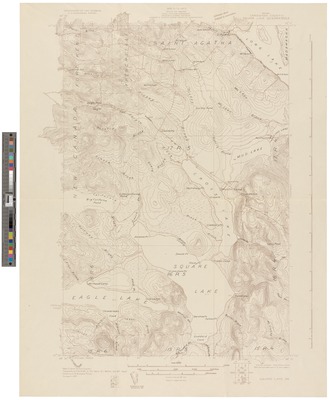
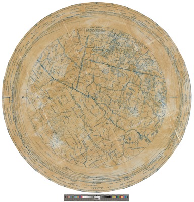
Square Lake Quadrangle 1927
Map of New Brunswick Indicating Motor Roads and Recreational Resources 1925
Map of Southern Ontario and Quebec: Showing Natural Resources and Roads 1925
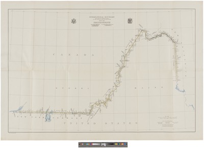
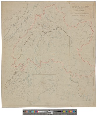
International Boundary from the Saint Lawrence River to the Source of the St. Croix River 1924
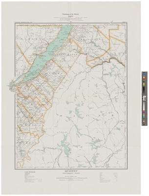
Quebec, Montmagny Sheet 1923
View from Hardwood Mountain Forest Fire Station 1923
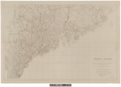
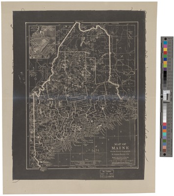
State of Maine : Compiled from U.S. Geological Survey, U.S. Coast and Geodetic Survey, U.S. Boundary Commission and Various State and Private Maps 1922
State of Maine : Compiled from U.S. Geological Survey, U.S. Coast and Geodetic Survey, U.S. Boundary Commission and Various State and Private Maps 1922
View from Deboulle Mountain Forest Fire Station 1922
Map of New Brunswick, Indicating Natural Resources 1921
Railroad Map of Maine. 1921
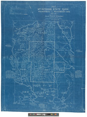
Map of Mt. Katahdin State Park 1921
View from Little Russell Mountain Forest Fire Station 1921
View from Nelhedus Mountain forest fire station 1921
View from Priestly Mountain Forest Fire Station 1921
Maine Chesuncook Quadrangle : Grid Zone "A 1921
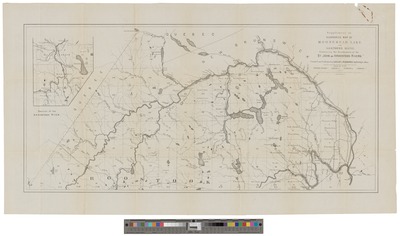
Northern Maine 1920
View from Soper Mountain Forest Fire Station 1920
View from Allagash Mountain Forest Fire Station. 1920
View from Beetle Mountain Forest Fire Station. 1920
View from Rocky Mountain Forest Fire Station 1919
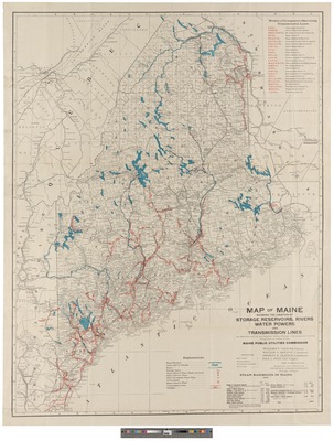
Map of Maine showing the Location of Storage Reservoirs, Rivers, Water Powers and Transmission Lines 1918
View from West Kennebago Forest Fire Station 1918
View from Coburn Mountain Forest Fire Station 1918
Second Lake and Surrounding Area 1917
Map of Bowlin and Springbrook Country 1914
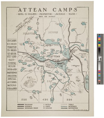
Atteans Camps 1914
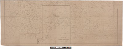
Map of the River Saint John and its Tributaries. Part 1 1911
Map of the River Saint John and its Tributaries. Part 2 1911
Map of the River Saint John and its Tributaries Above the City of Fredericton 1911
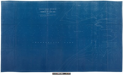
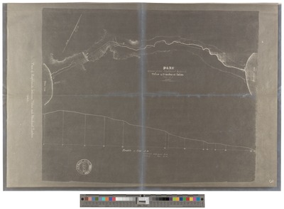
Survey of Chamberlain Lake Dam 1910
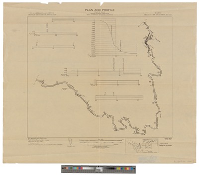
Dead River Drainage Basin, Maine: Plan and Profile Sheet 1 of 9 1910
Dead River Drainage Basin, Maine: Plan and Profile Sheet 2 of 9 1910
Dead River Drainage Basin, Maine: Plan and Profile Sheet 3 of 9 1910
Dead River Drainage Basin, Maine: Plan and Profile Sheet 4 of 9 1910
Lake Surveys: Chamberlain, Telos, Telosinis, and Webster Lakes 1909
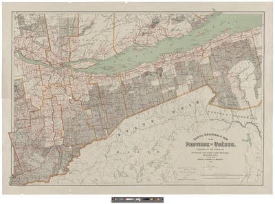
Carte Regionale no 6 de la Province de Quebec 1908
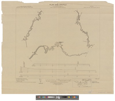
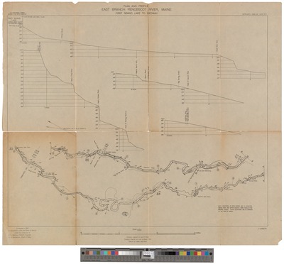
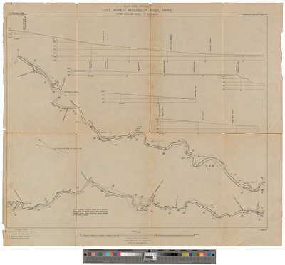
East Branch Penobscot River, Maine Part 1 1908
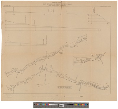
East Branch Penobscot River, Maine Part 2 1908
East Branch Penobscot River, Maine Part 3 1908
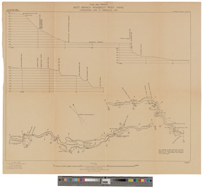
West Branch Penobscot River, Maine Part 2 1908
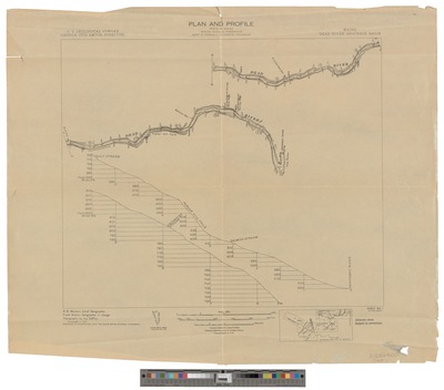
Plan of the Penobscot River Drainage Basin Part 1 1907
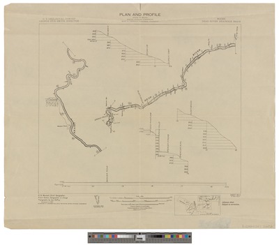
Plan of the Penobscot River Drainage Basin Part 2 1907
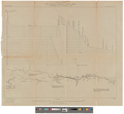
West Branch Penobscot River, Maine Part 1 1906
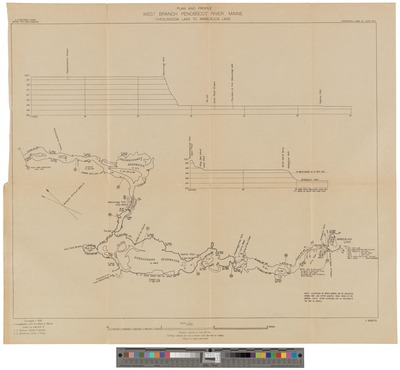
West Branch Penobscot River, Maine Part 3 1906
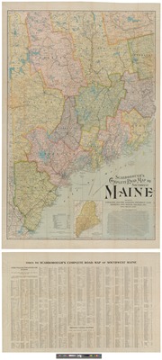
Scarborough's Complete Road Map of Southwest Maine 1905
Bangor and Aroostook Railroad and Connections 1900
West Branch of the Penobscot River 1900
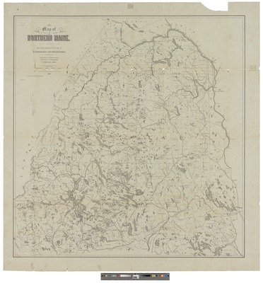
Map of Northern Maine 1900
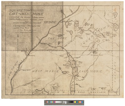
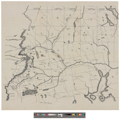
Squaretown : East and West Moxie 1900
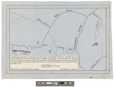
Detail Traced by Rheta H. Morrison from the Original Map Entitled: A Plan of 1,060,166 Acres of Land & Water. 1900
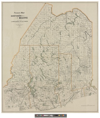
Frink's Map of Northern Maine: for the Use of Lumbermen and Sportsmen 1898
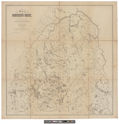
Map of Northern Maine: Specially Adapted to the Uses of Lumbermen and Sportsmen 1896
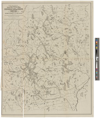
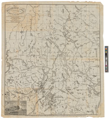
Farrar's Moosehead Lake and Vicinity Illustrated Map 1889
Megantic Fish and Game Corporation Map 1887
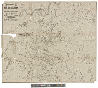
Map of the Megantic, Spider, and Upper Dead River Region 1887
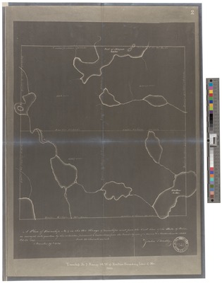
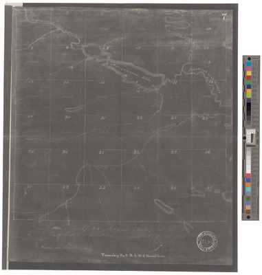
A Plan of Township No. 7 1884
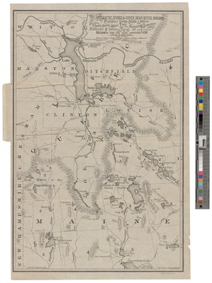
Farrar's New Map of the Rangeley Lakes Region and the Headwaters of the Connecticut, Magalloway, Androscoggin, Sandy and Dead Rivers 1884
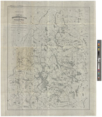
Map of Moosehead Lake and Northern Maine, Embracing the Headwaters of the Penobscot, Kennebec and St. John Rivers 1883
Supplement to Hubbards Map of Moosehead Lake and Northern Maine 1882
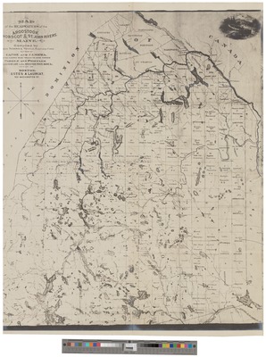
Map of the Headwaters of the Aroostook, Penobscot and Saint John Rivers. 1881
Map of the Area North of Moosehead Lake1880
Penobscot East Branch, the Forks to Matagamon Lake 1880
Map of Moosehead Lake, and the Headwaters of the Aroostook and Penobscot Rivers 1880
Map of Maine for the Eclectic Geographies 1879
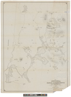
Lakes of Franklin and Oxford Counties, Maine. 1876
Map of Moosehead Lake and the Headwaters of the Penobscot & St. John Rivers 1874
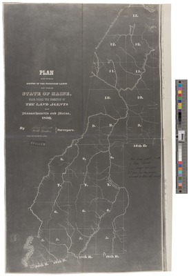
Plan of the Survey of the Undivided Lands 1850
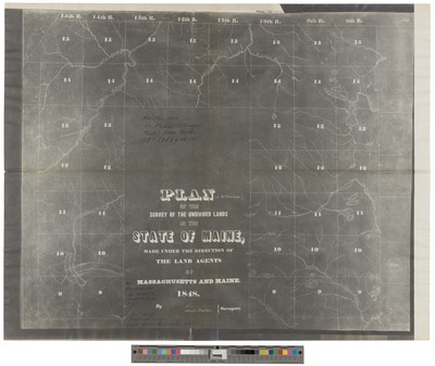
Plan of the Survey of 41 Townships in the Undivided Lands. 1848
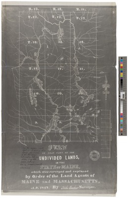
Plan of that part of the undivided land of the State of Maine 1847
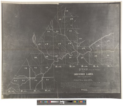
Plan of the Undivided Lands : [Showing 28 Townships] 1845
Bingham's Kennebec Purchase 1844
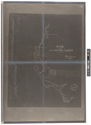
Map of the Allagash Lakes 1843
Plan of Part of Highland Between Telos and Penobscot Lakes 1840
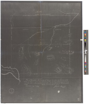
Township No. 6 R. 9 W. of Bound Line 1839
Plan of Township No. 5-- 1839
Plan of Township Number 6 in the Ninth Range. 1834
Townships Numbered 5, 6, 7, & 8 in the 10th Range 1833
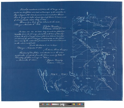
Map 13: Township of Undivided Lands in Maine Range 8, 9, 10, 11 and 12 North of Mt. Katahdin 1832.
This Plan Represents the Most Compact Tracks of Pine Timber on 13 Township 1832
Plan of the Part of the State of Maine 1831
Map Exhibiting the Principal Original Grants & Sales of Lands in the State of Maine. 1829
Sketch of the Imaginary Ranges of Highlands 1828
Vertical Sections, Exhibiting the Comparative Altitudes of the Principal Highlands and Rivers of the State of Maine 1828
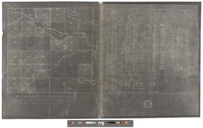
Survey of the Tract of Country Lying South 1827
Plan of East Branch Penobscot River 1820
Plan of East Branch Penobscot River 1820
Plan of East Branch Penobscot River 1820
Province of Maine from the Best Authorities 1794
James Burton Scrips: a Plan of 1,060,166 Acres of Land and Water 1792
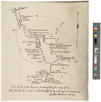
Draught of a Route from Fort Pownal on Penobscot River 1764
Map of the Sources of the Chaudiere, Penobscot, and Kennebec Rivers 1761
Search
Enter search terms:
Select context to search:
in this collection
Digital Maine
Advanced Search
Notify me via email or
RSS
Browse
State Agencies
Subjects
Contributors
For Agency Contributors
FAQs
Featured Links
Maine Government
Maine State Library
Maine State Agencies
Digital Maine Partners
Gallery Locations
View gallery on map
View gallery in Google Earth


 1938")


 1932 by Great Northern Paper Co and Myron Avery")


![Plan of the Undivided Lands : [Showing 28 Townships] 1845 by Isaac Small and Noah Barker](https://digitalmaine.com/maps/1091/thumbnail.jpg "Plan of the Undivided Lands : [Showing 28 Townships] 1845 by Isaac Small and Noah Barker")


